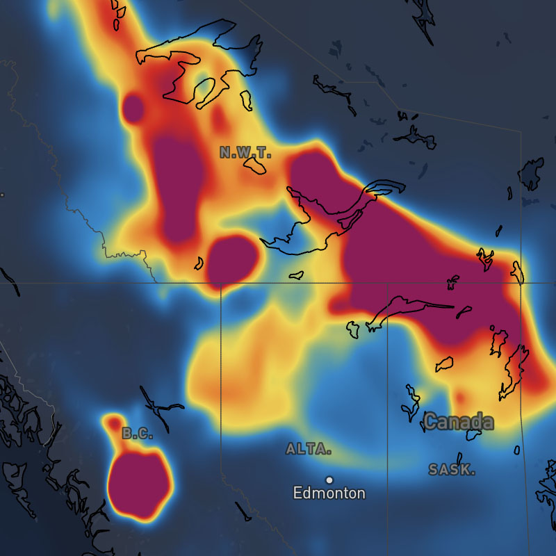
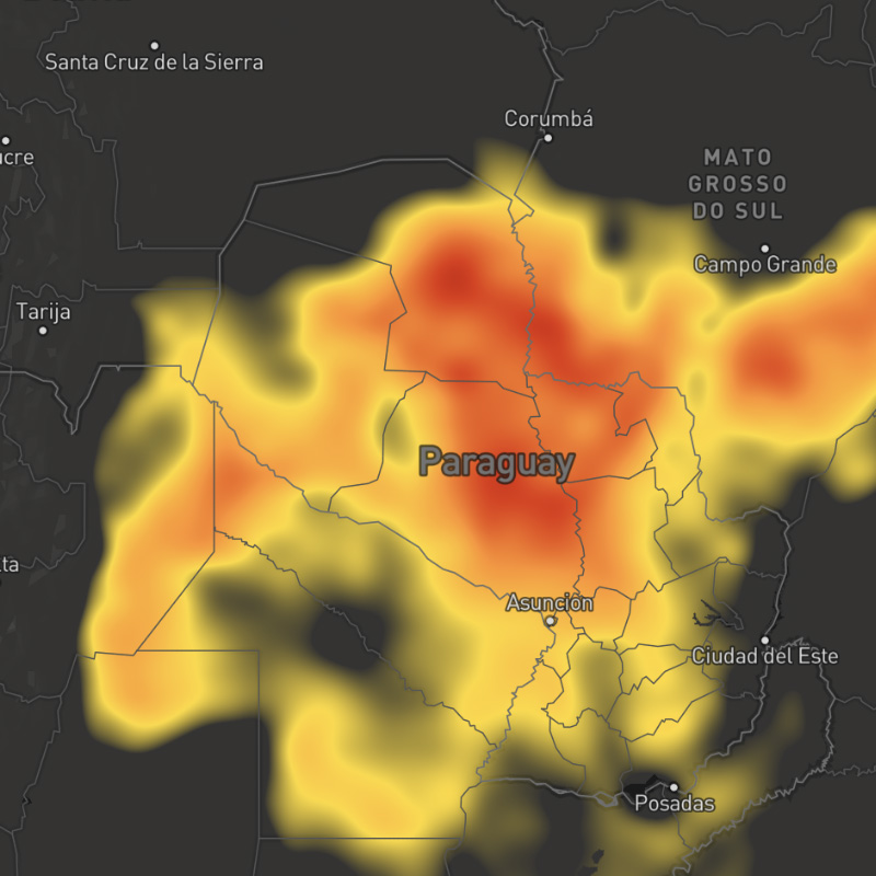
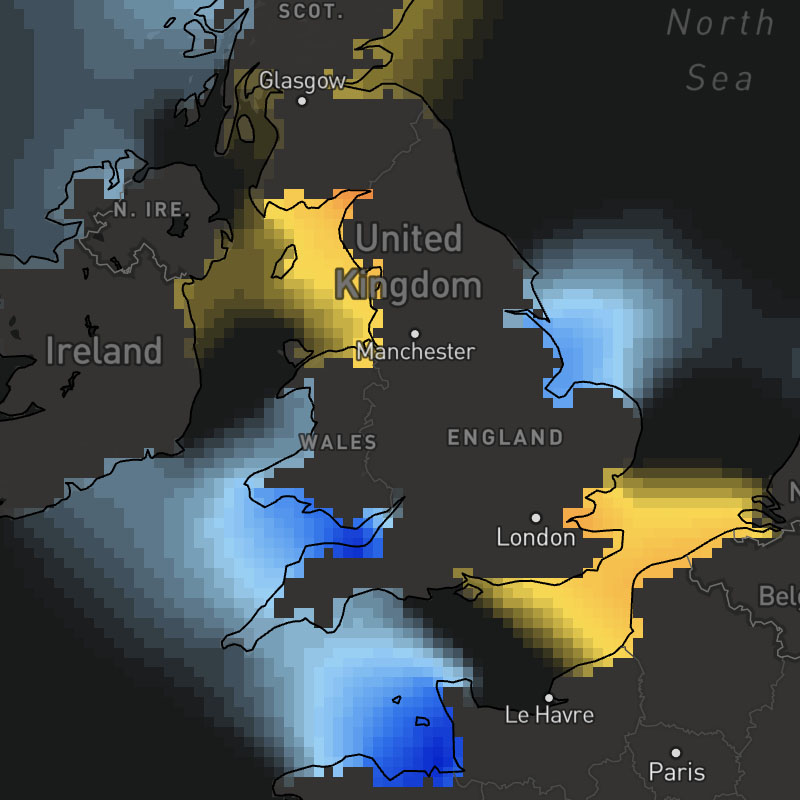
Weather Layers
The MapsGL SDK includes a variety of pre-configured weather layers for you to quickly add to your maps. These built-in layers are styled using standard styles from our raster maps product (opens in a new tab) by default except for new layers made possible with the MapsGL SDK.
While the built-in weather layers are already configured with default styles, you can fully customize their appearance by overriding the default style configuration. Refer to the styling weather data documentation for more details and examples of customizing weather layers.
Supported weather layers
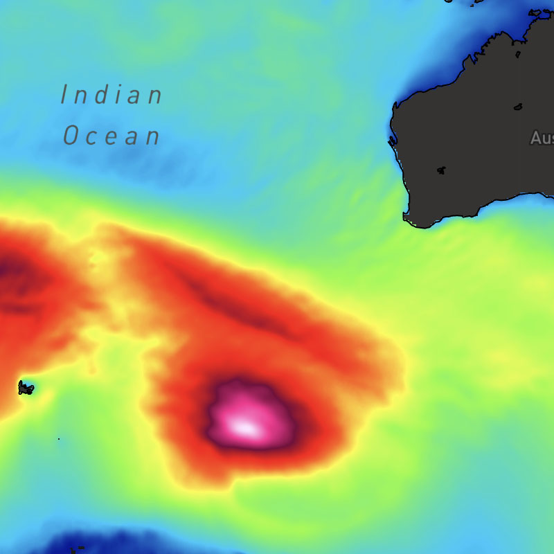
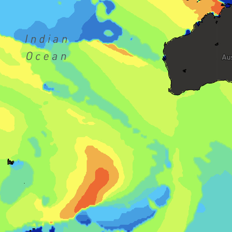
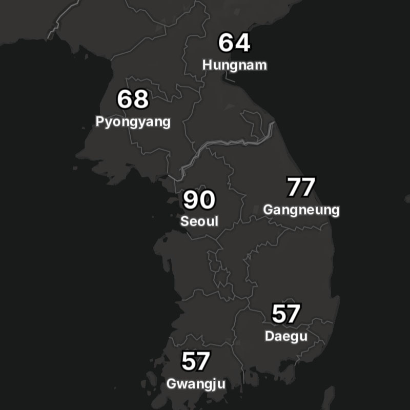
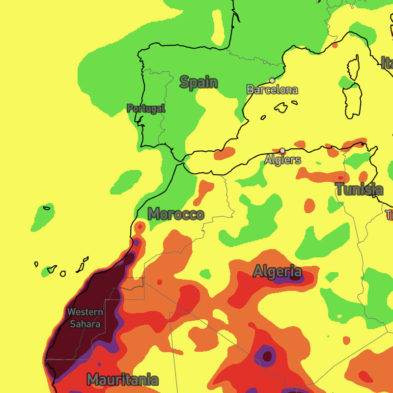
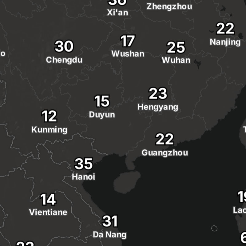
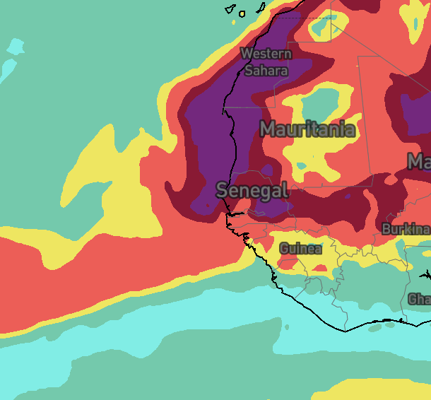
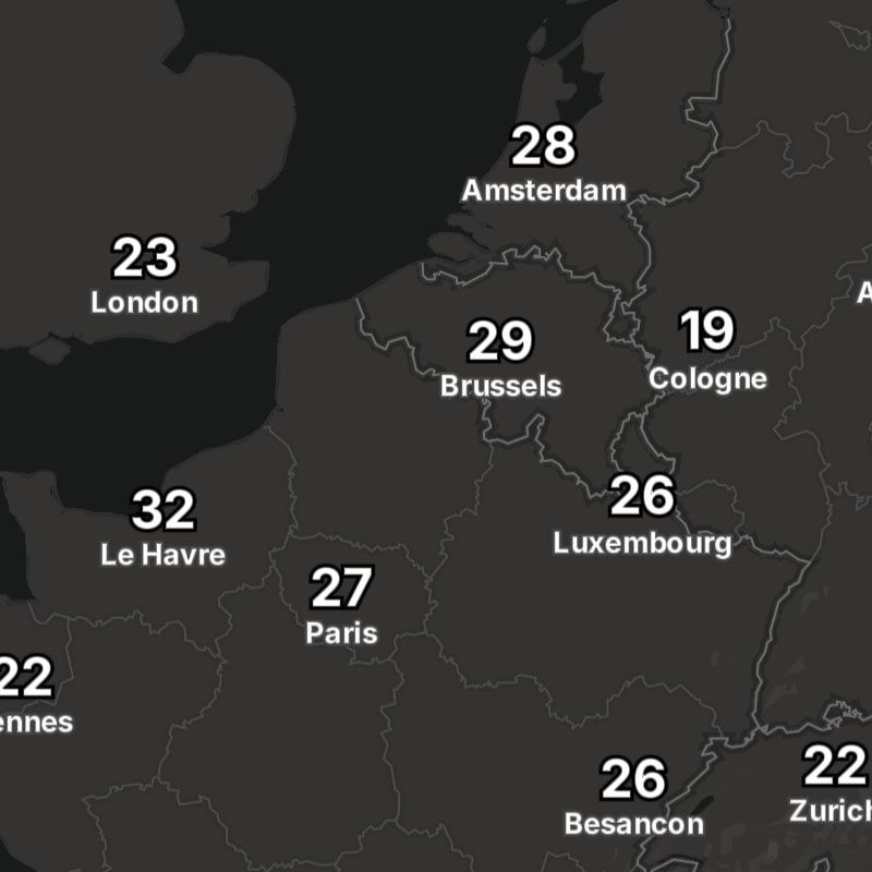
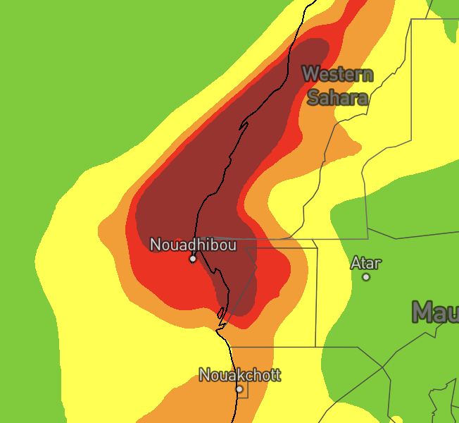
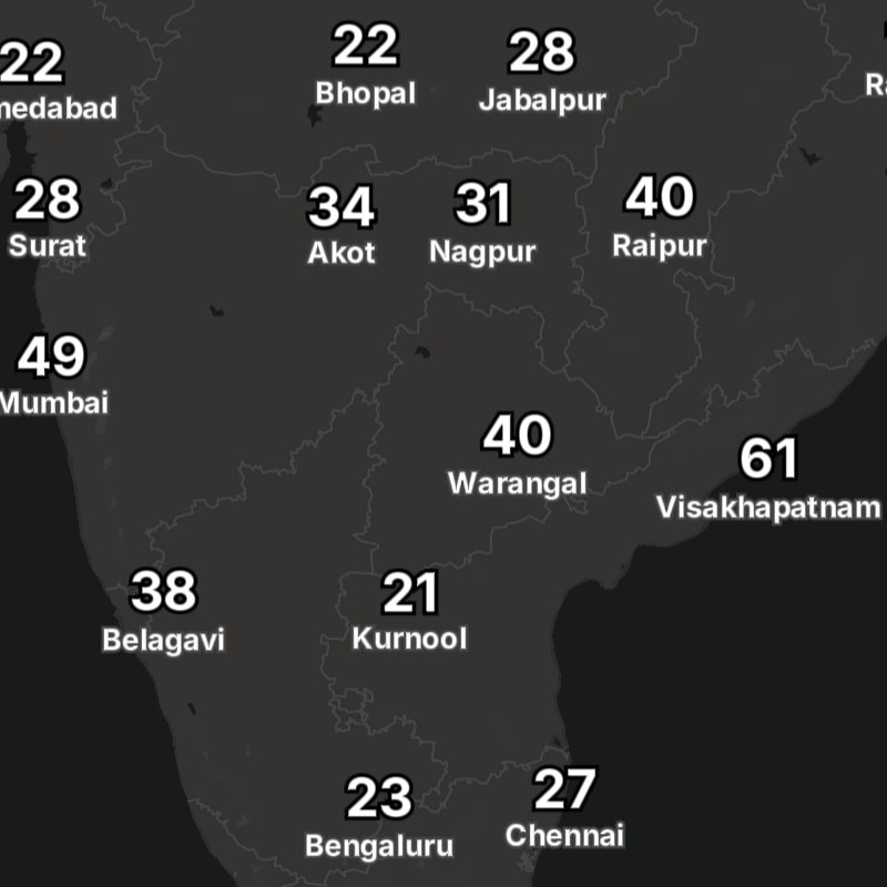
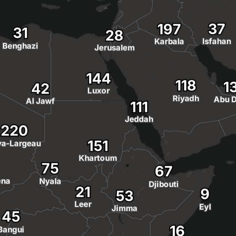
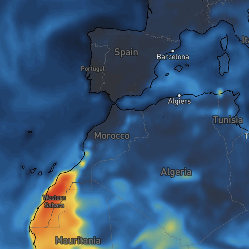
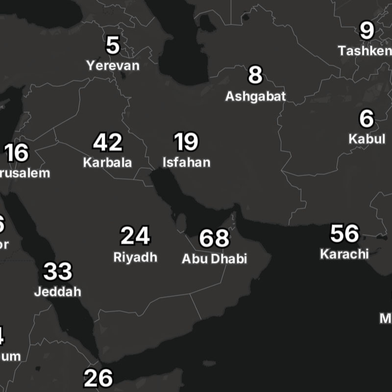
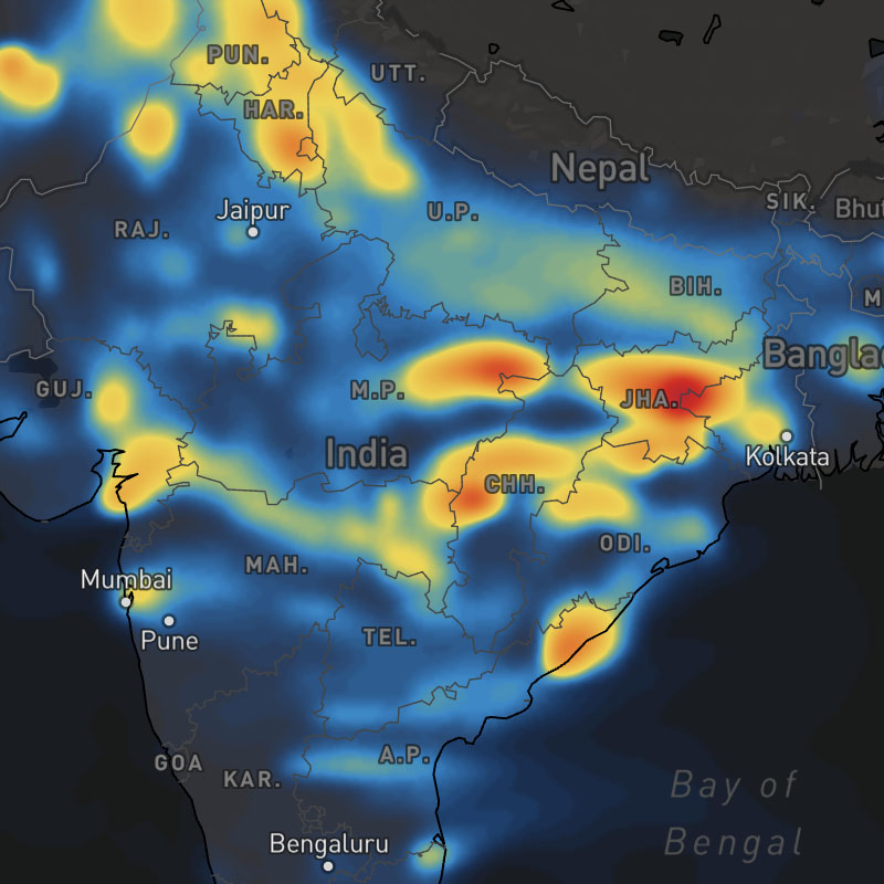
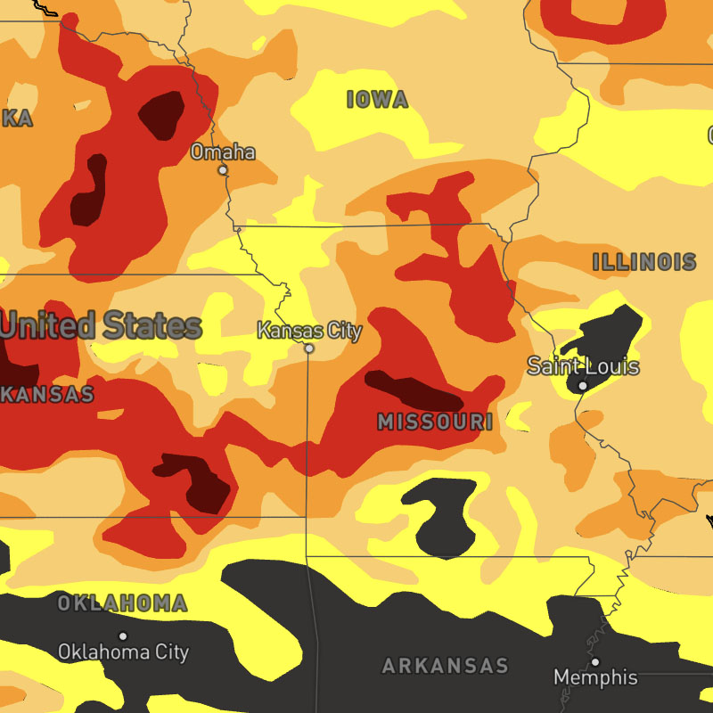
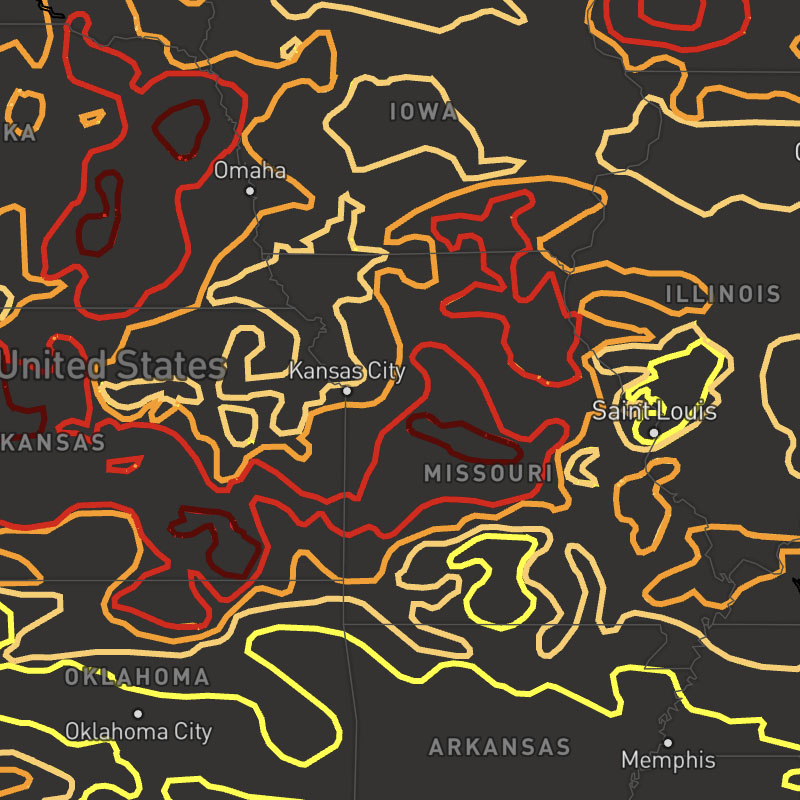
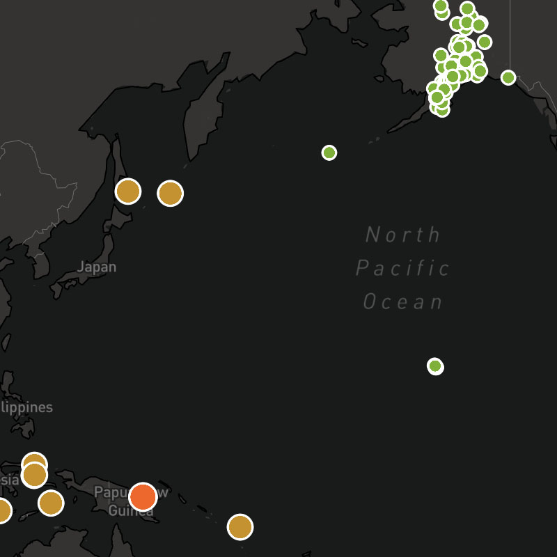
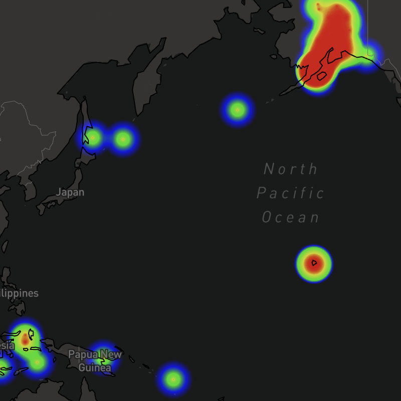
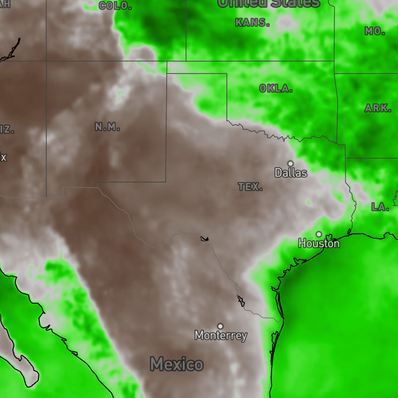
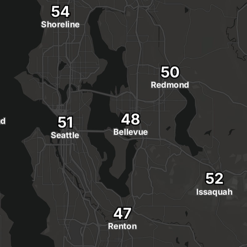
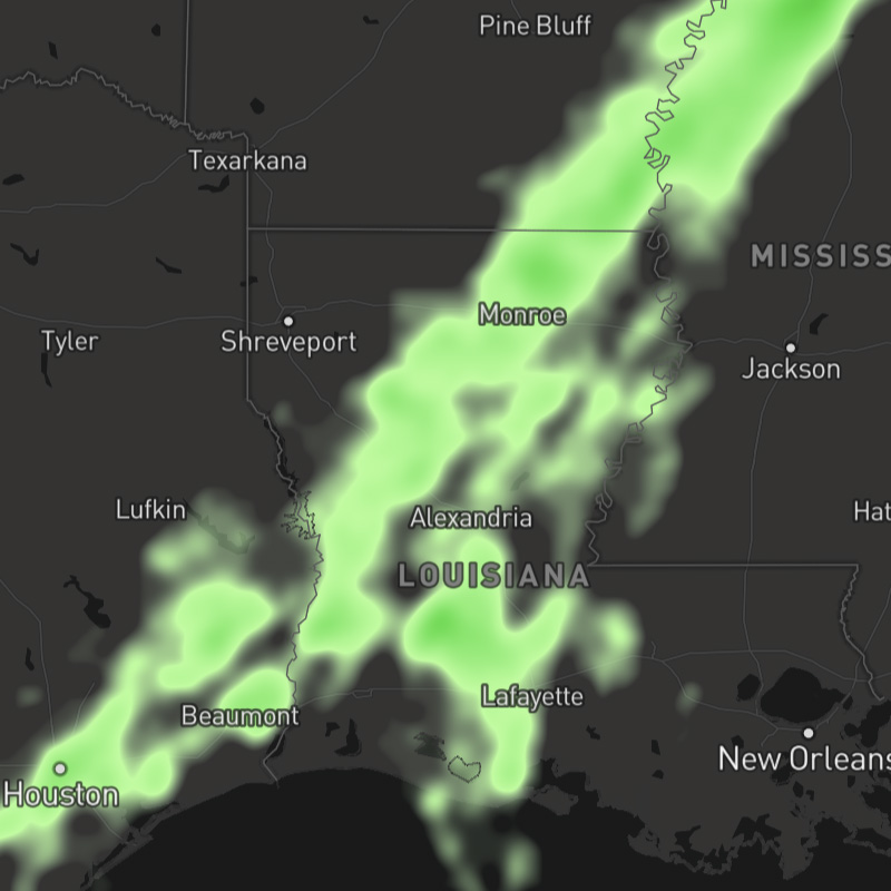
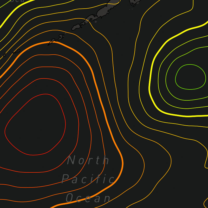
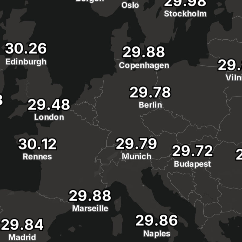
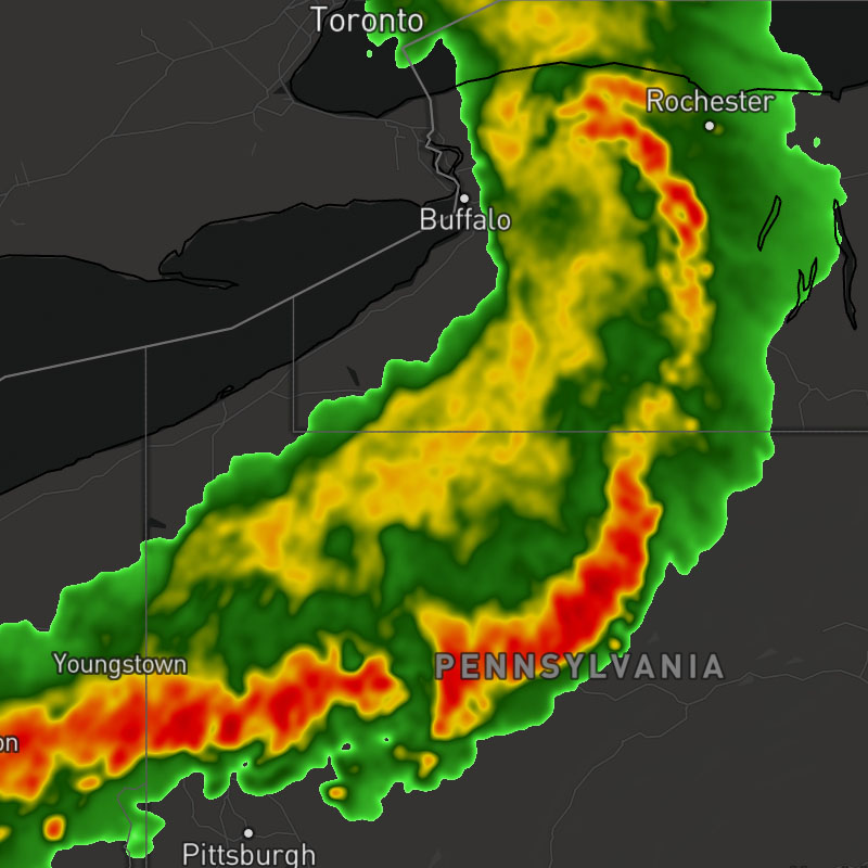
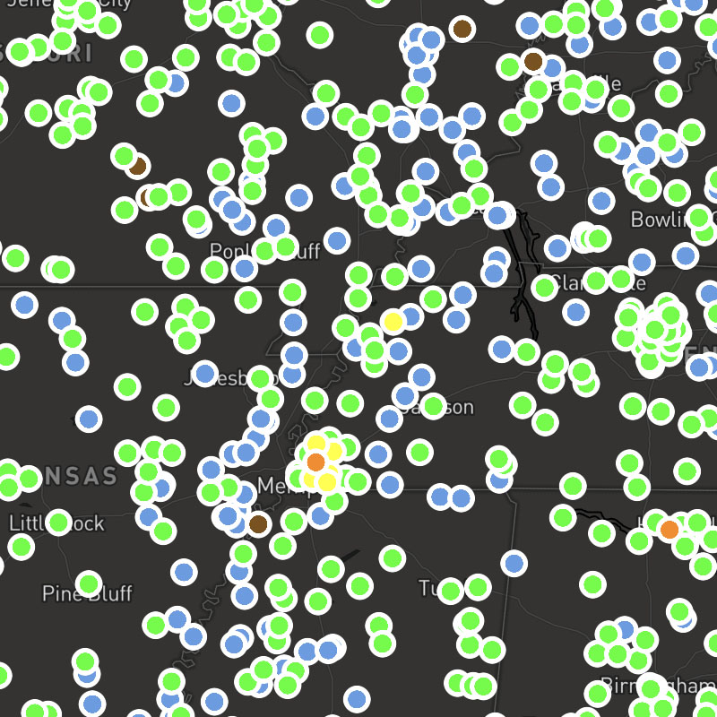
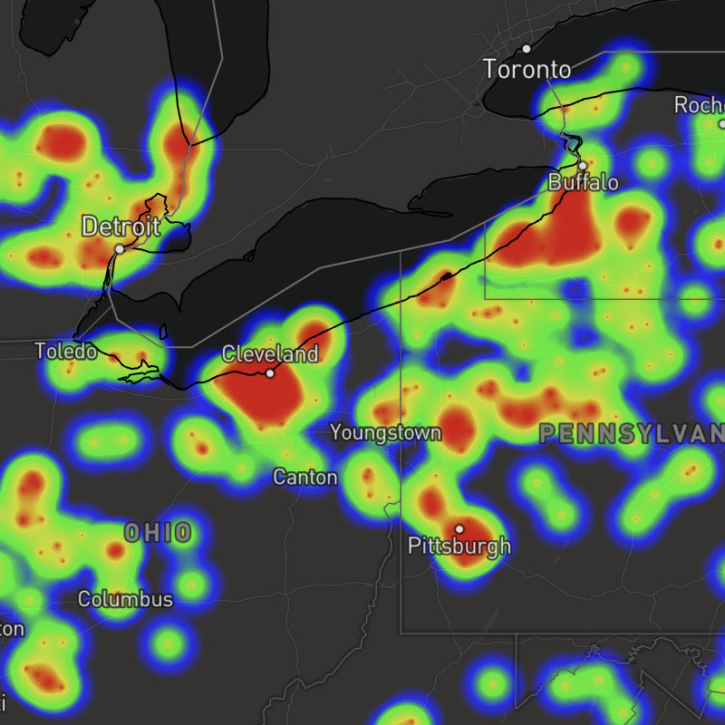
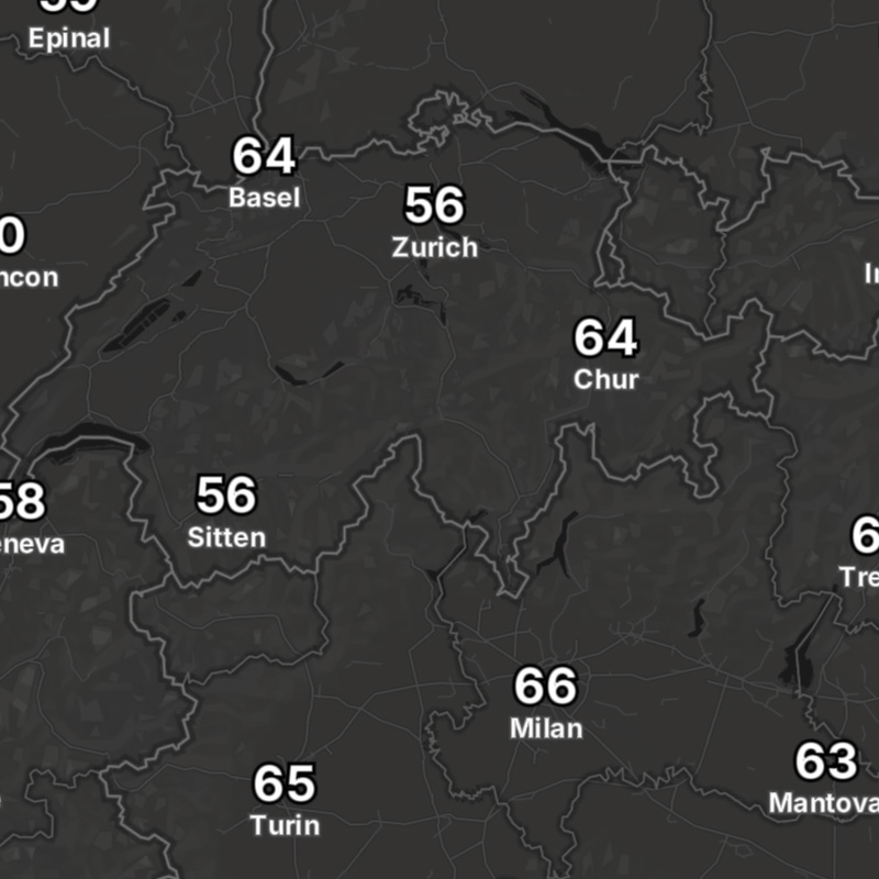
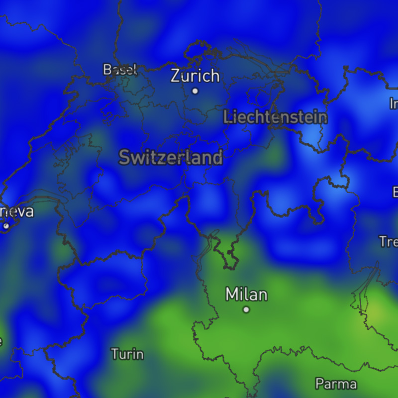
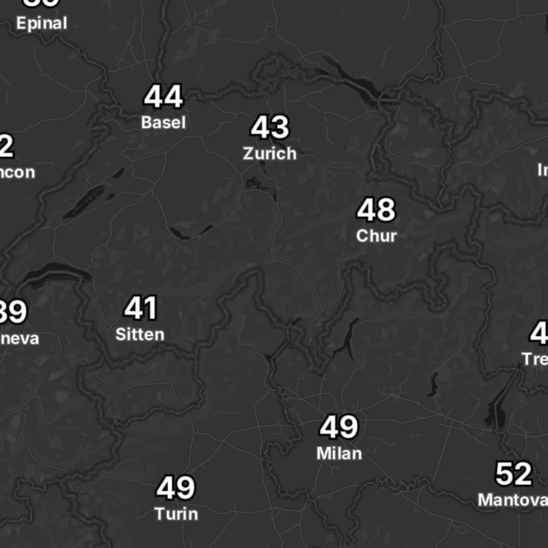
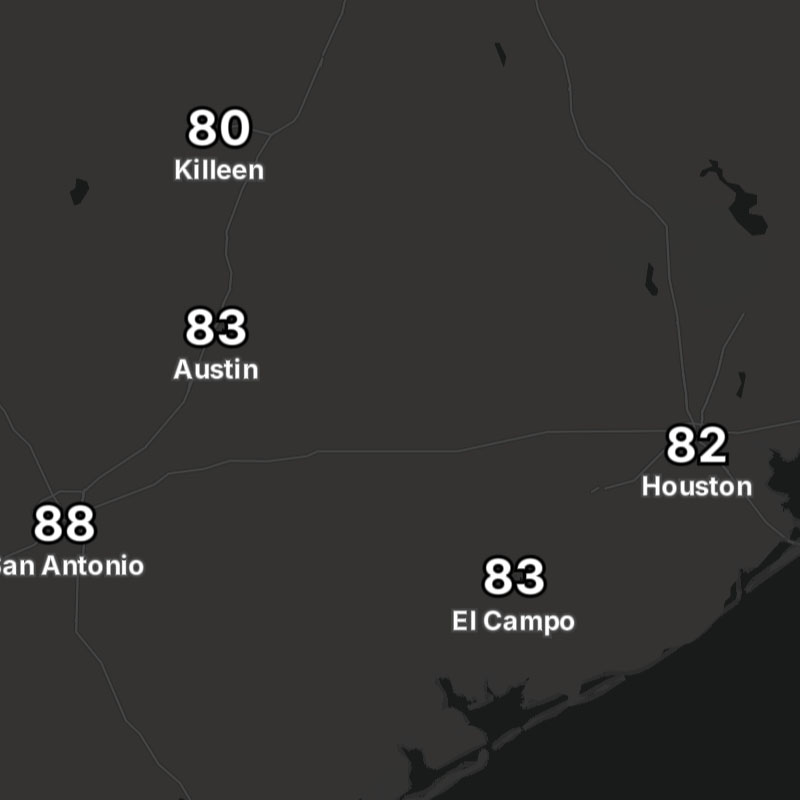
The following built-in weather layers are supported within MapsGL. Refer to the layer categories and their respective layers for more information about each layer, including update frequency and coverage regions:
- Style: Layer style used when rendering the layer, using default paint styles that can be overridden
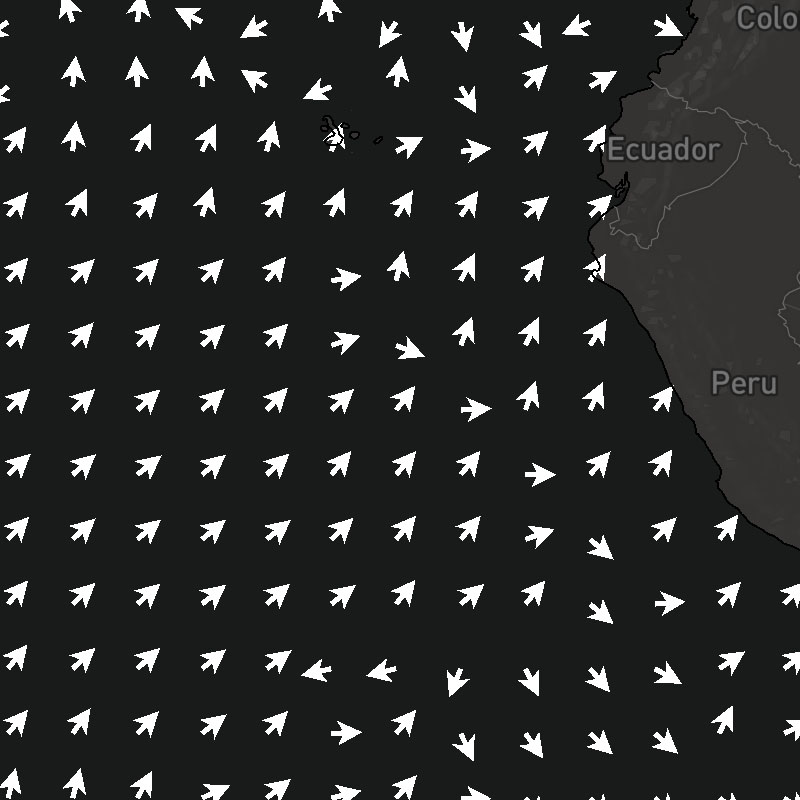
- Animates: Whether the layer is animatable using the MapsGL map timeline
- Updates: Update frequency for the data
- Range: How far back (negative ranges) or how far into the future (positive ranges) the data is available for relative to now. Past ranges consist of archived observed data, whereas future ranges indicate forecast model data. Some weather layers contain both archive and forecast data, in which case time ranges in the past will return archive data and time ranges in the future will return forecast data.
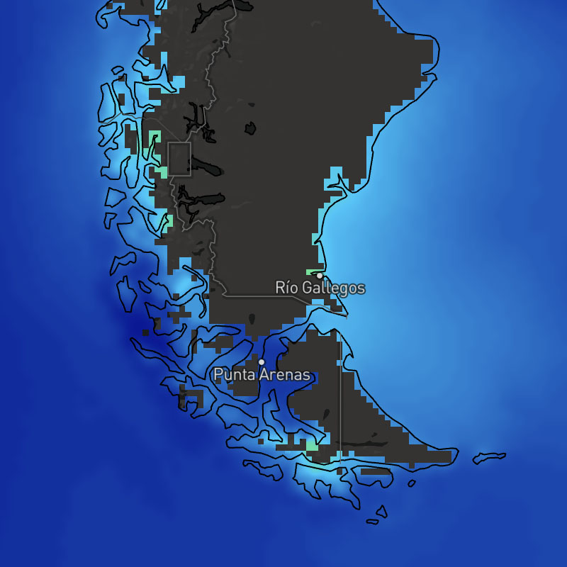
- Regions: Coverage regions included with the data set.

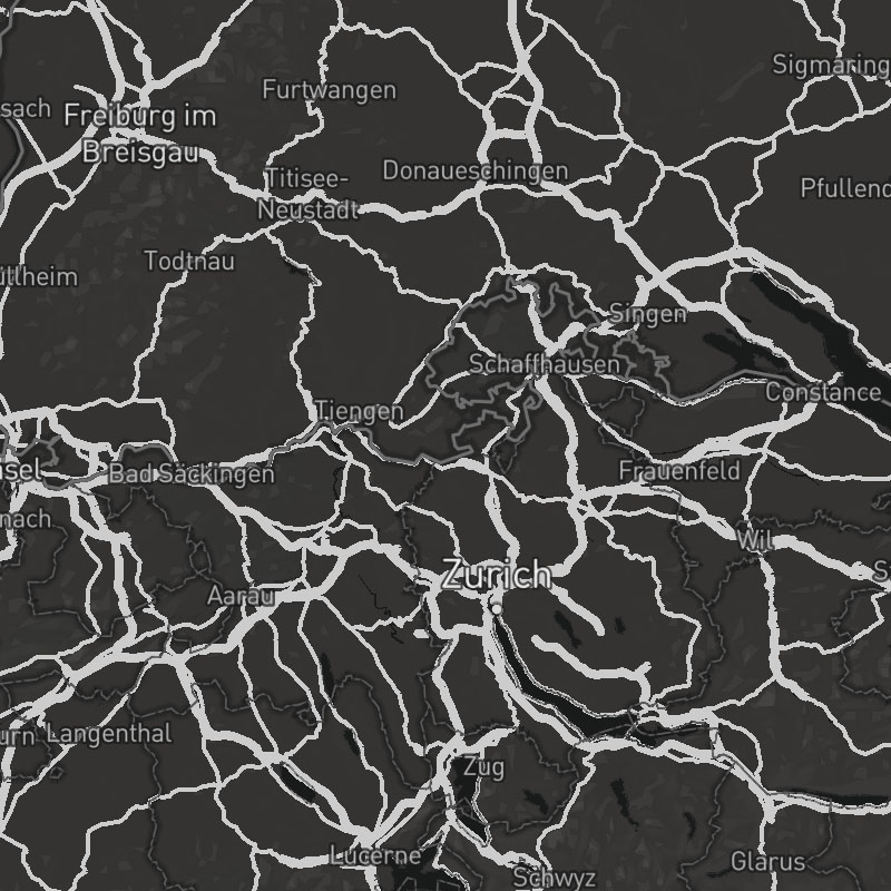
admin-2-boundaries, admin-3-4-boundaries, admin-5-6-boundaries, waterway-ocean-boundaries, waterway-lake-river-boundaries
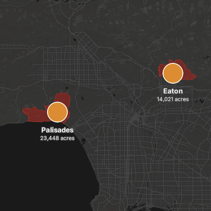
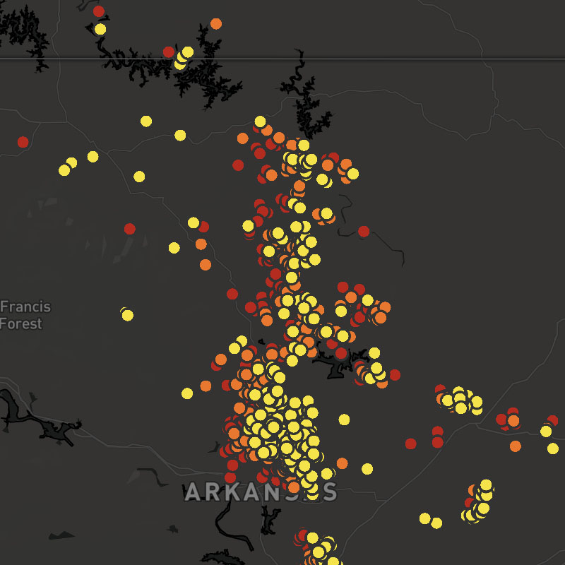
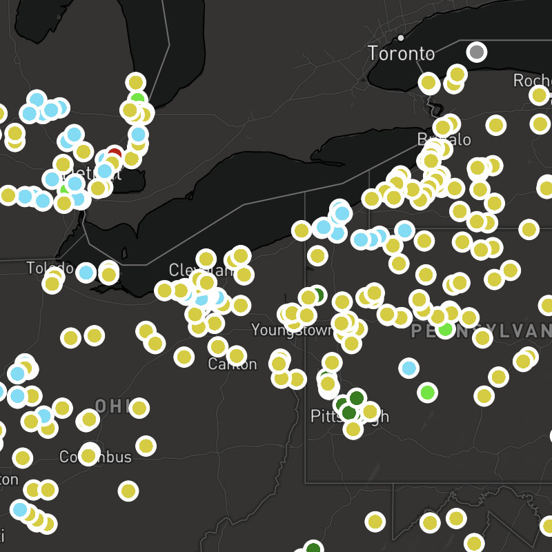
fires-obs, fires-obs-names, fires-perimterfires-obs-icons, fires-obs-names, fires-perimter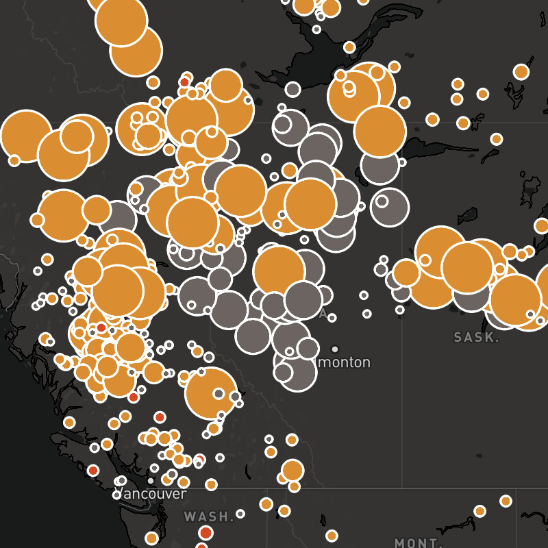
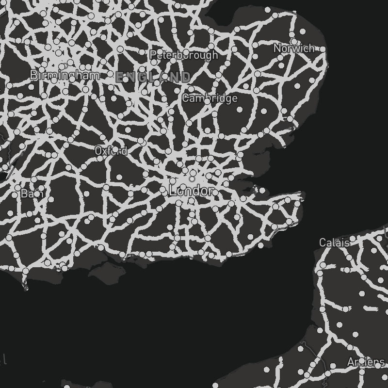


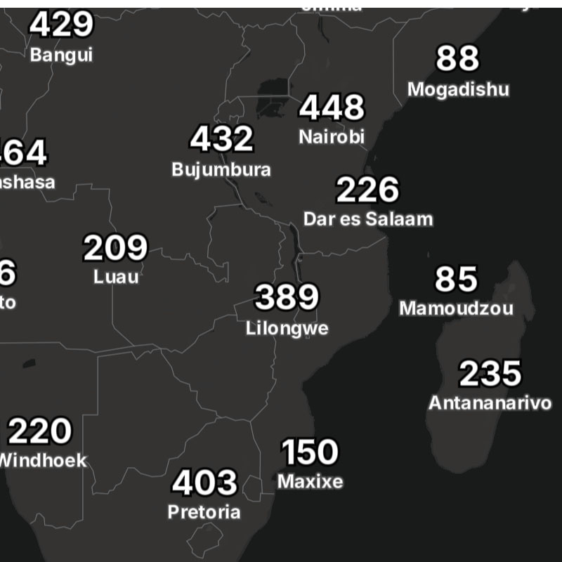
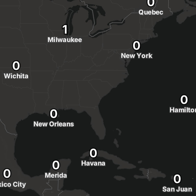
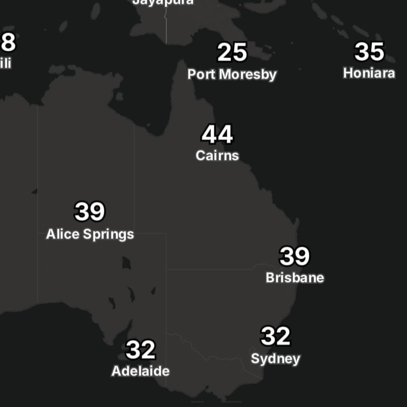
place-country, place-state, place-city, place-neighborhood
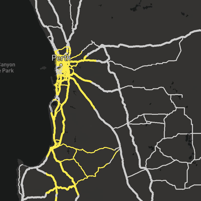
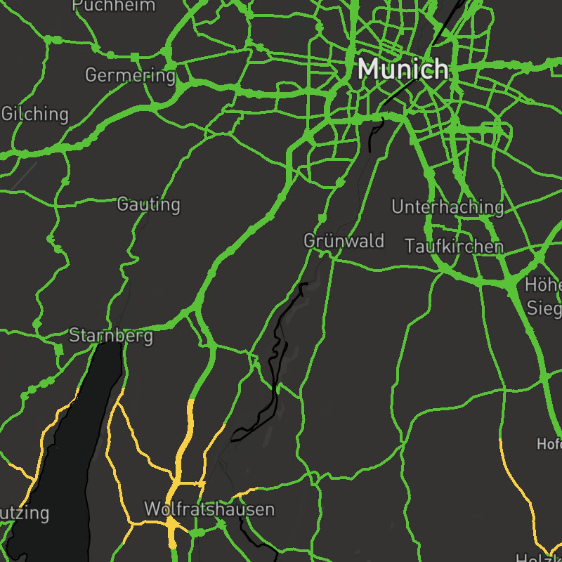
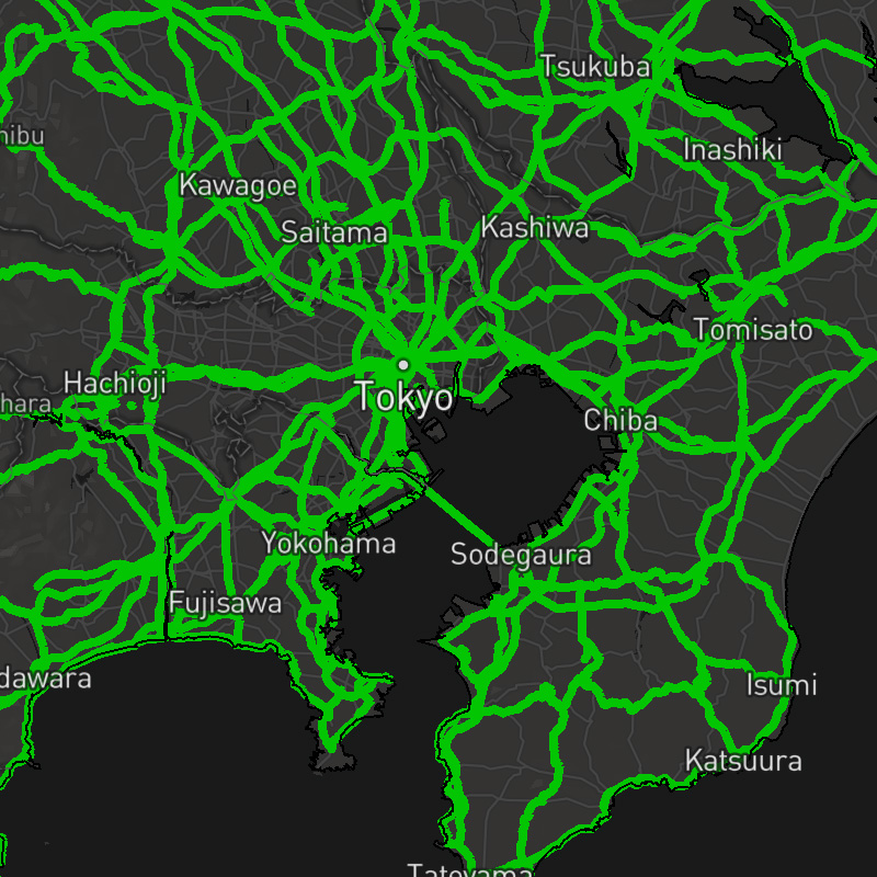
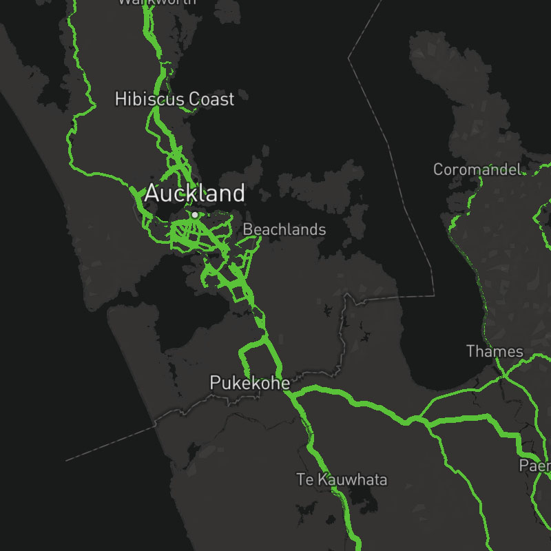
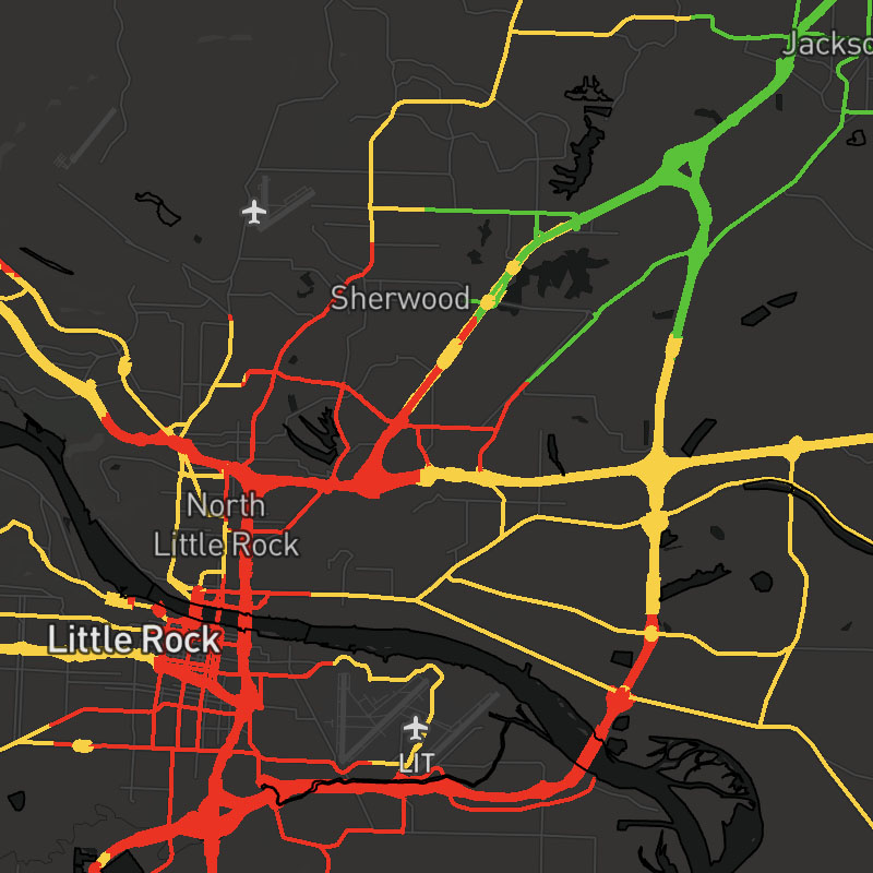
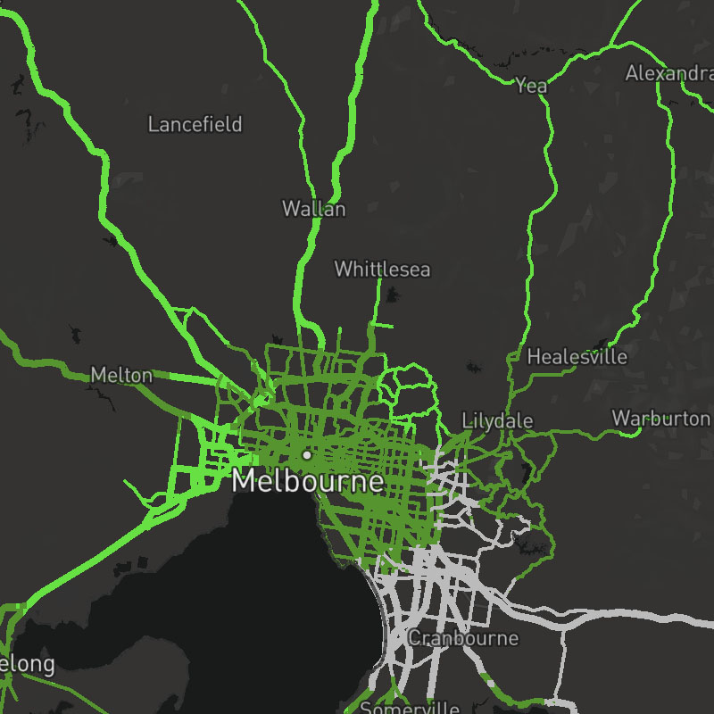
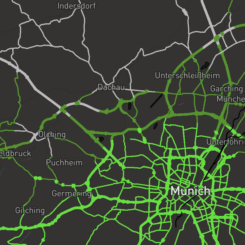
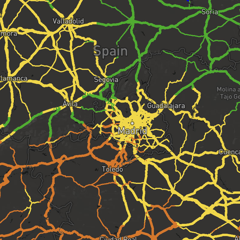
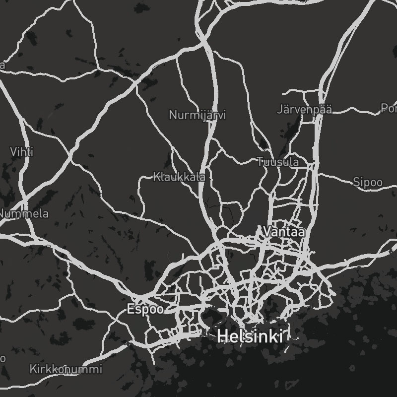
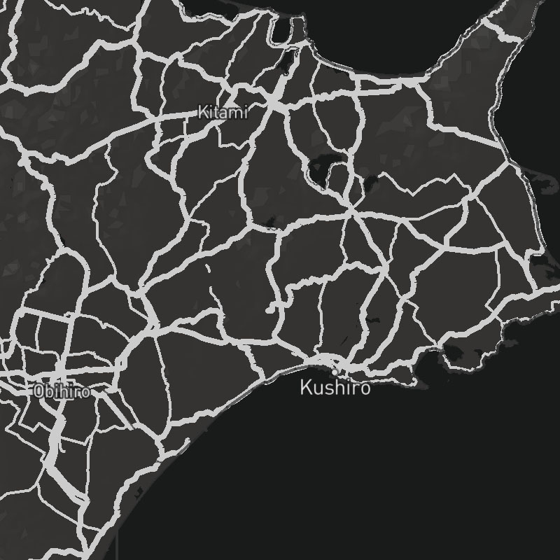
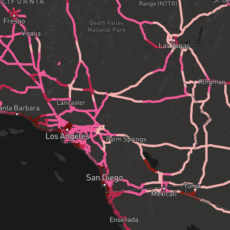
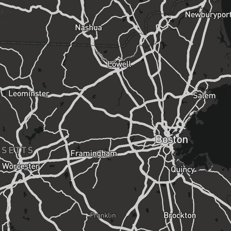
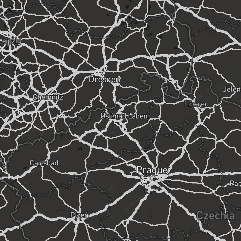
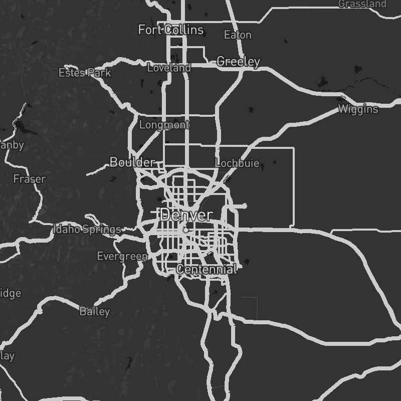
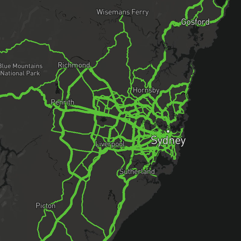
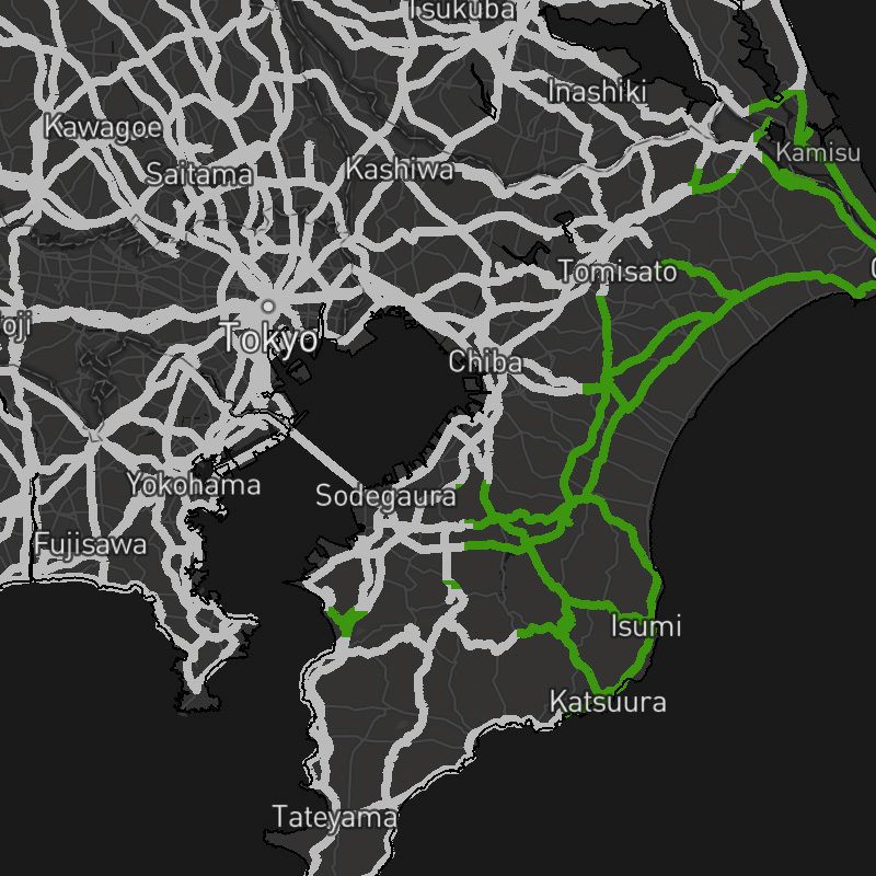
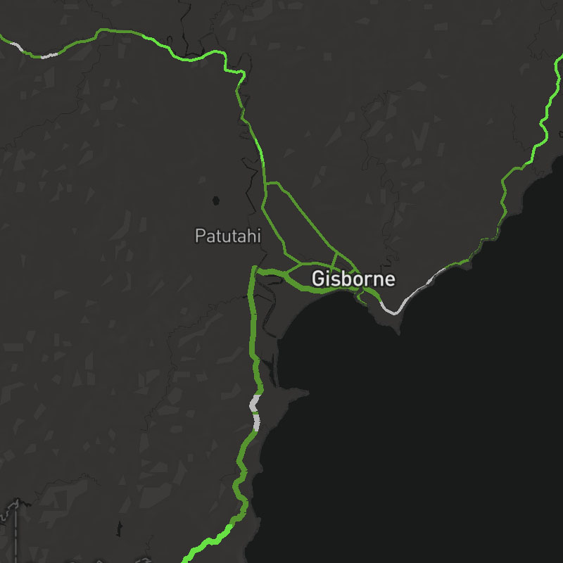
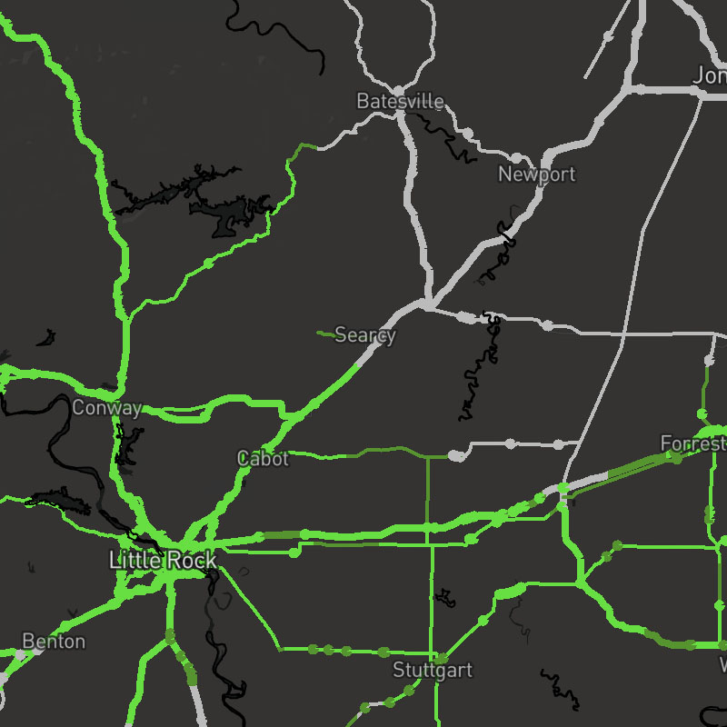
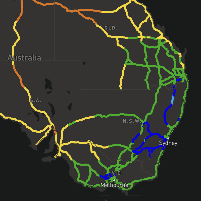
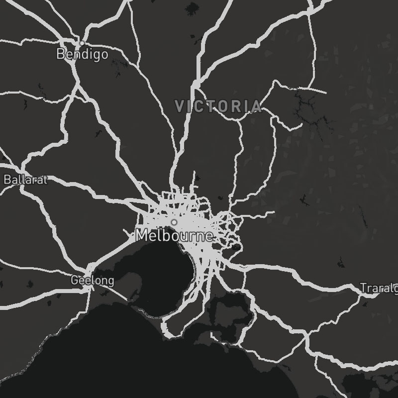
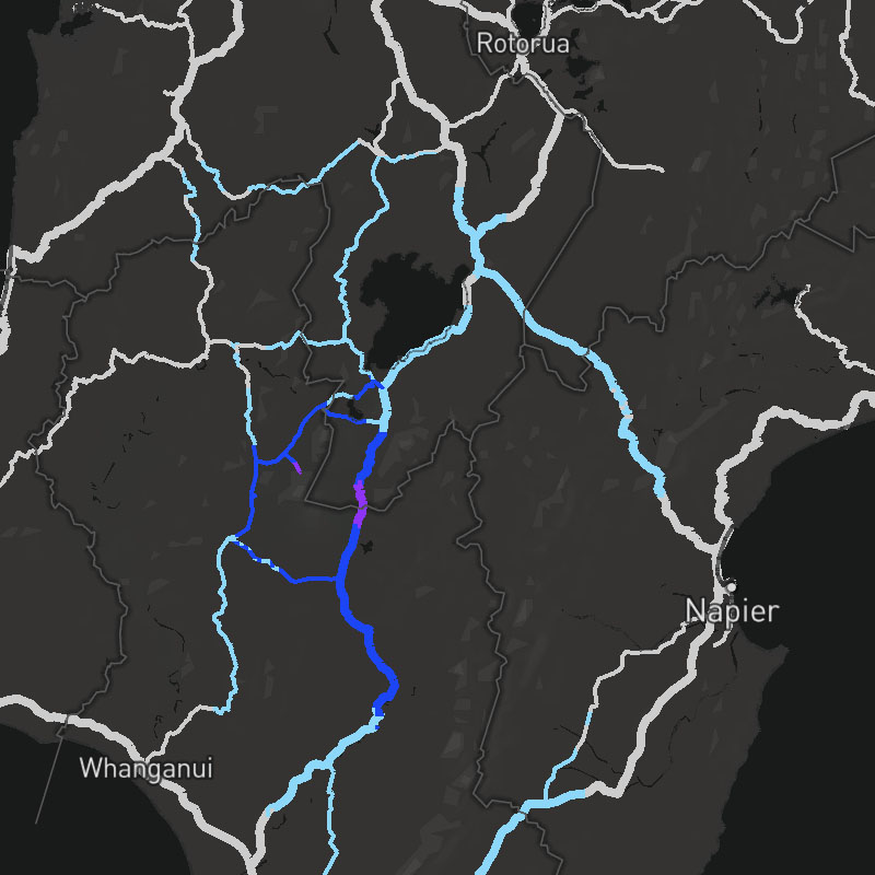
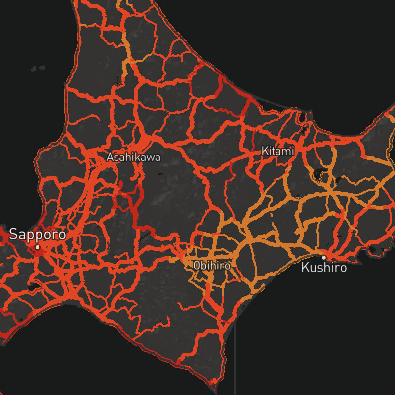
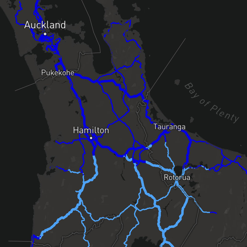
road-motorway, road-trunk, road-primary, road-secondary-tertiary, road-street


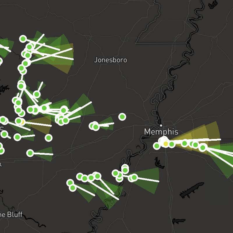
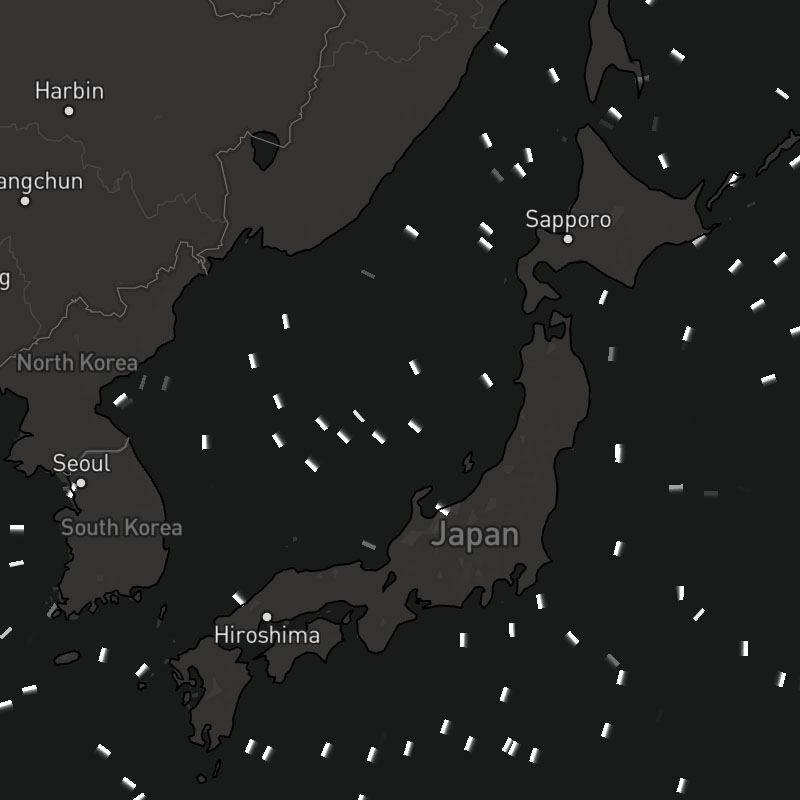
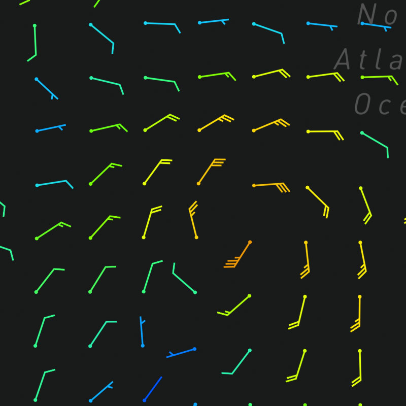
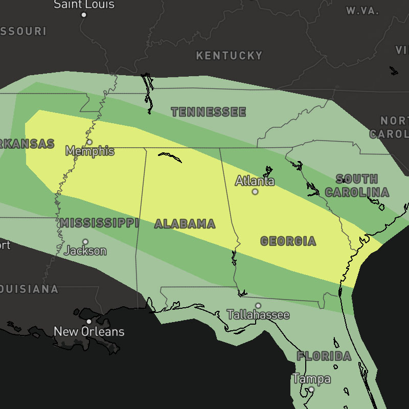
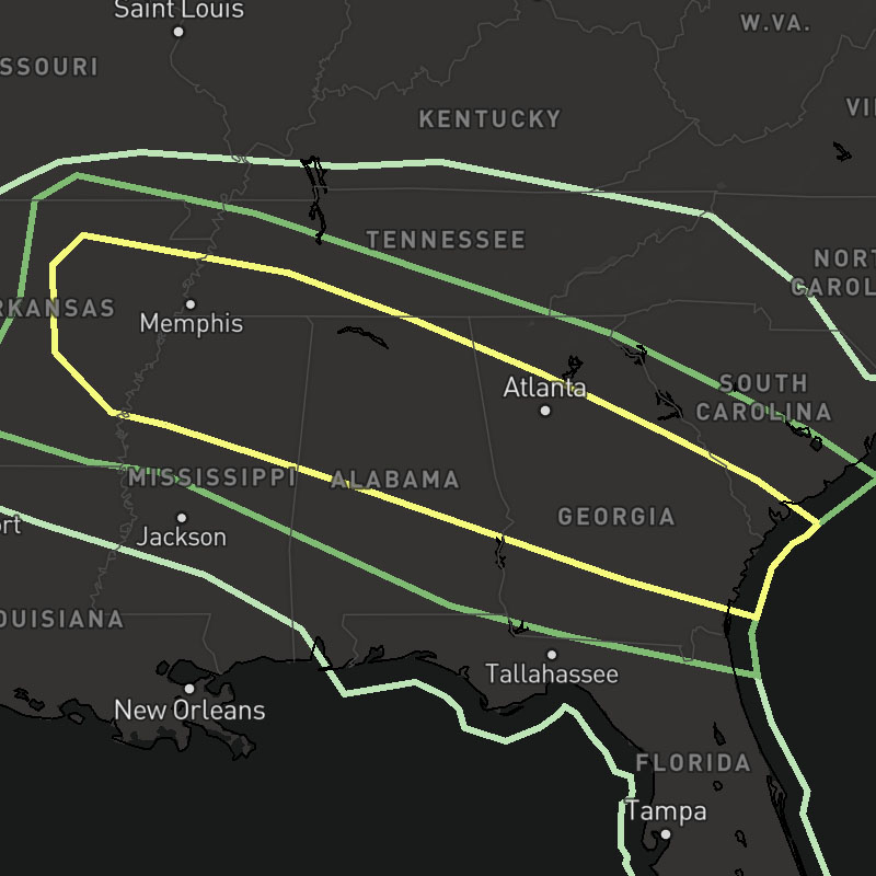
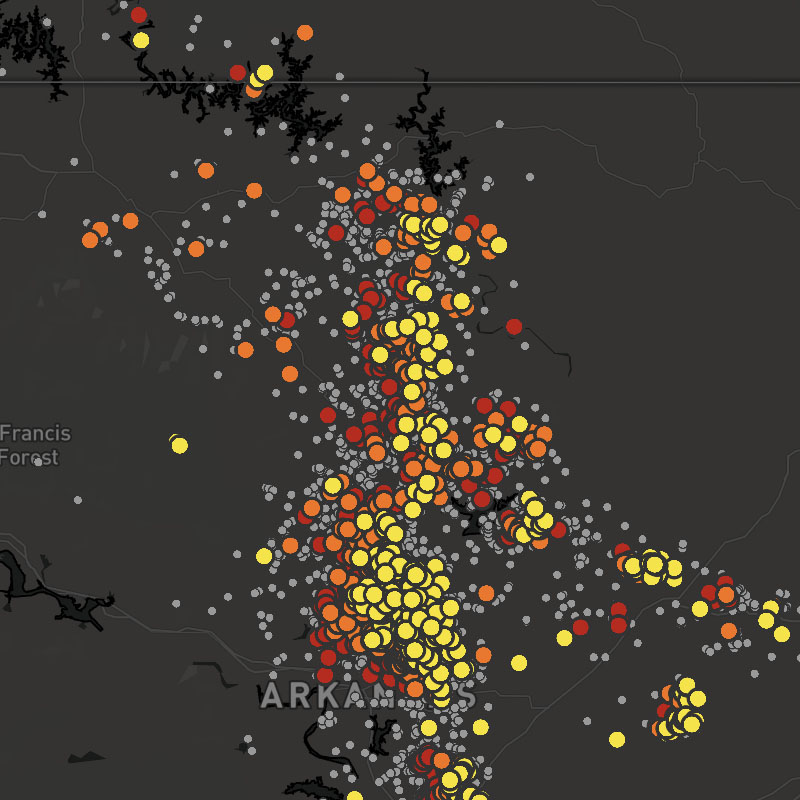
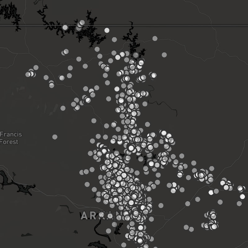
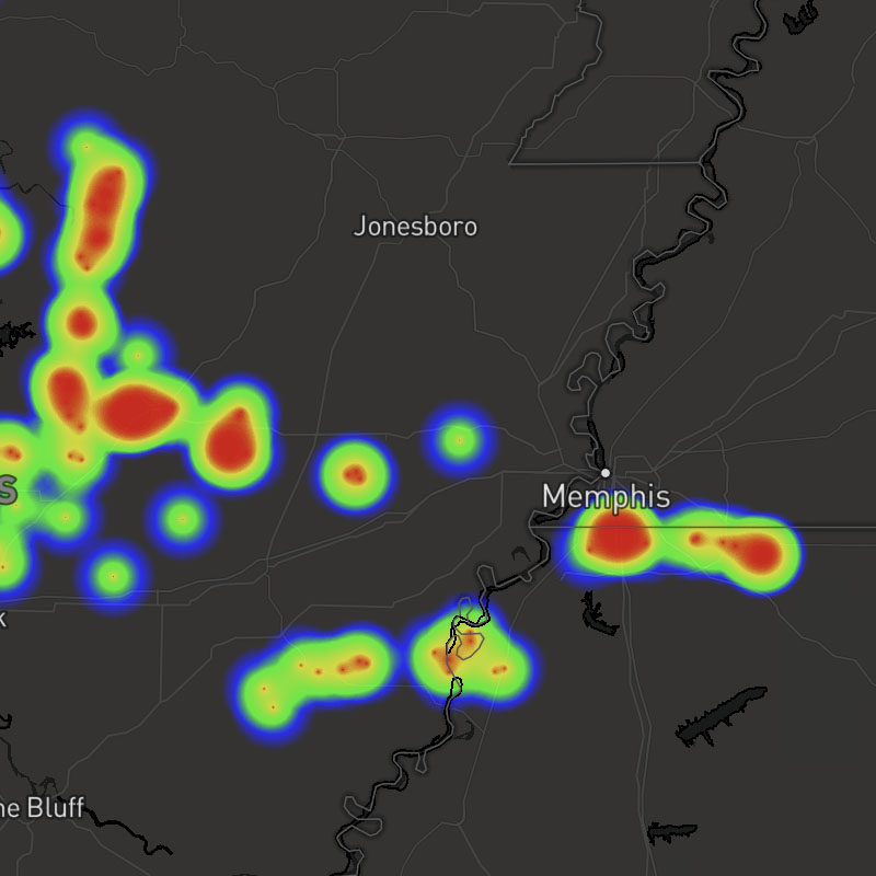
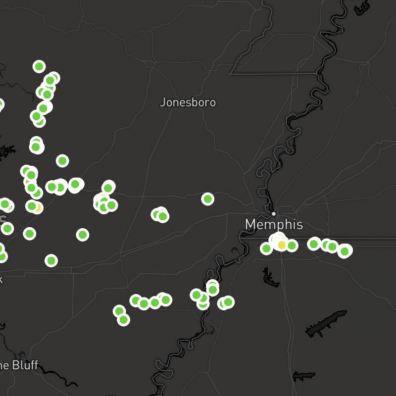
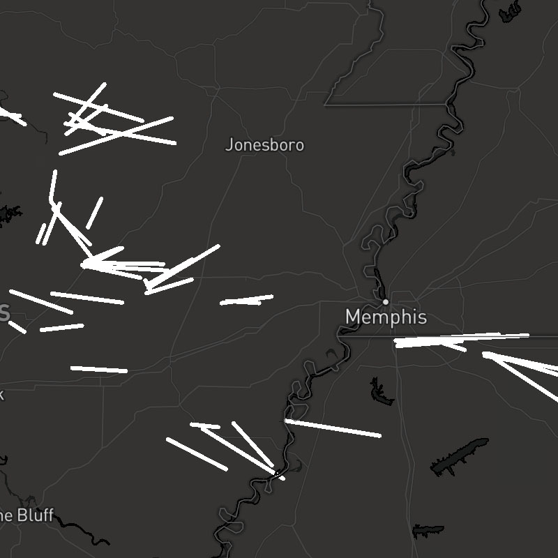
stormcells-positions, stormcells-tracks, stormcells-cones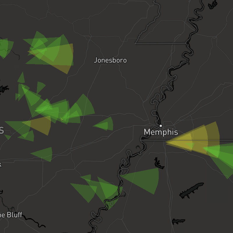
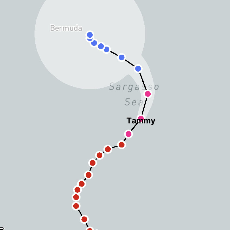
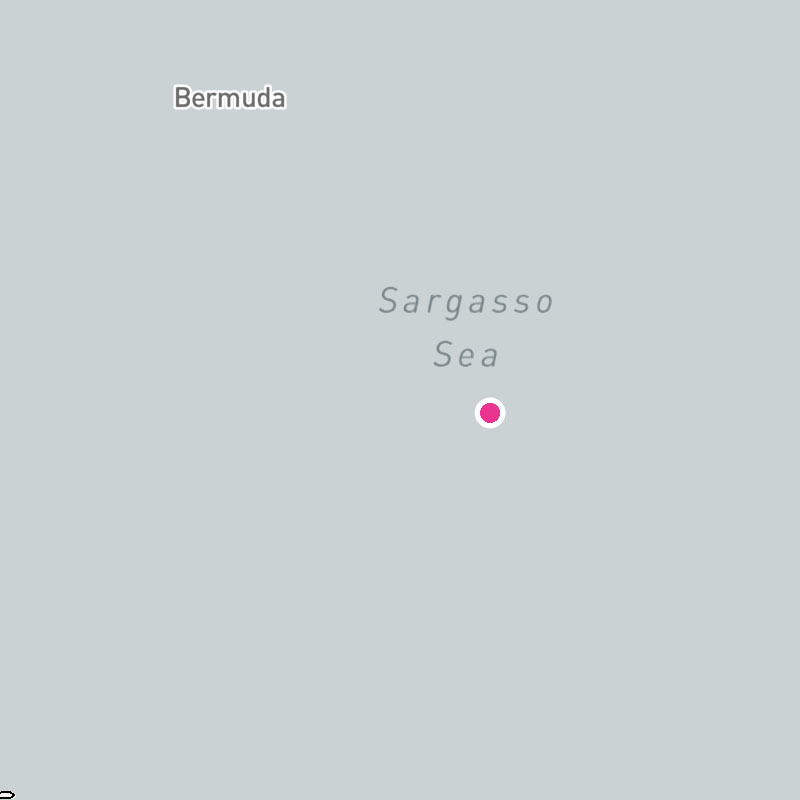
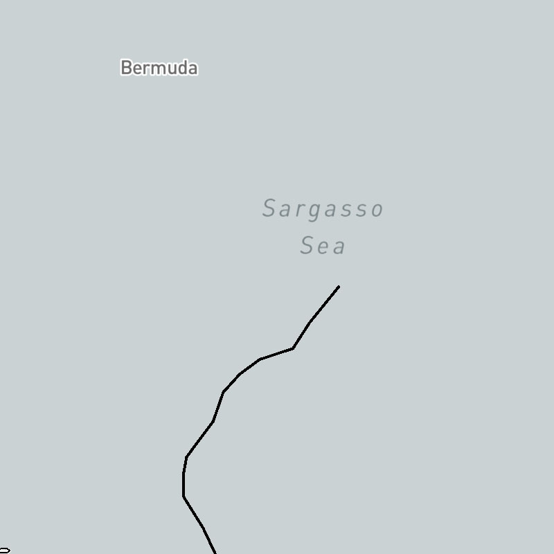
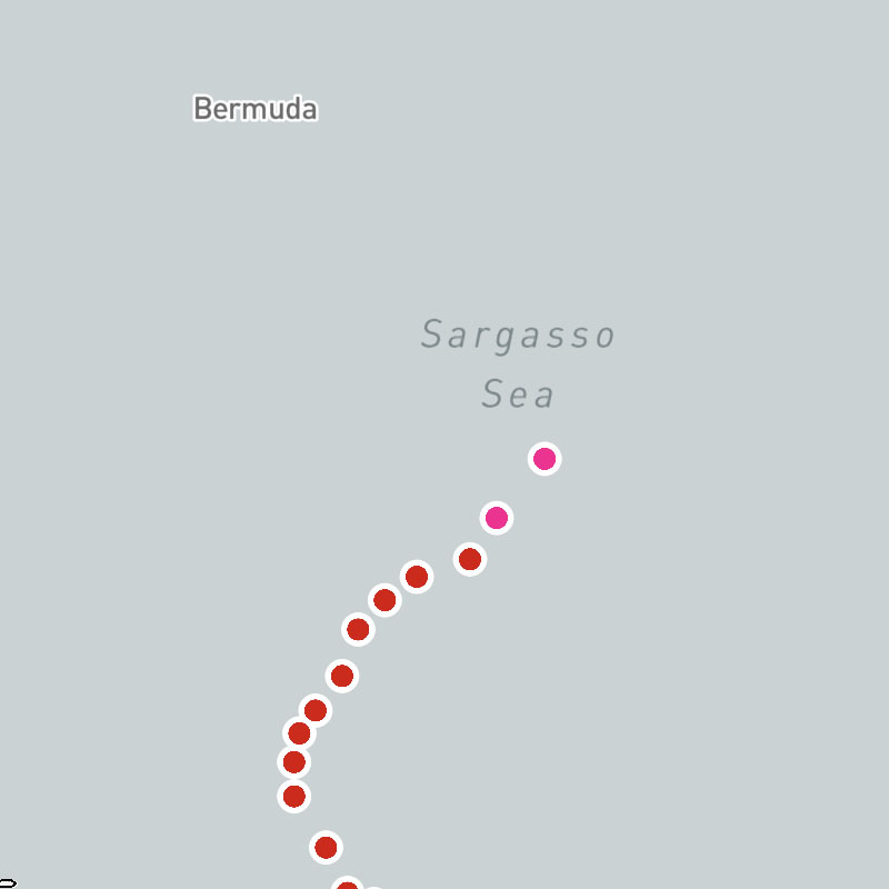
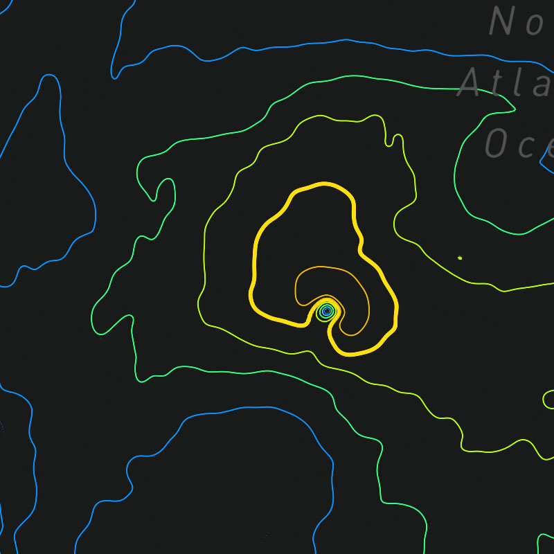
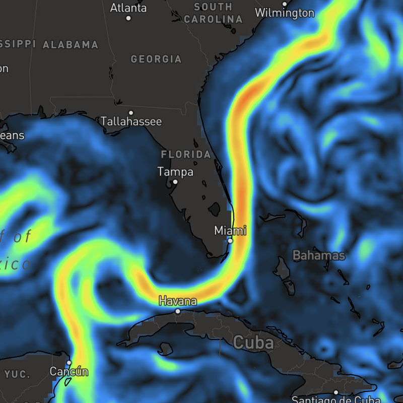
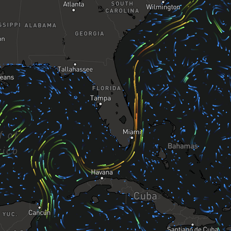
tropical-cyclones-positions, tropical-cyclones-names, tropical-cyclones-track-lines, tropical-cyclones-track-points, tropical-cyclones-forecast-lines, tropical-cyclones-forecast-points, tropical-cyclones-forecast-error-cones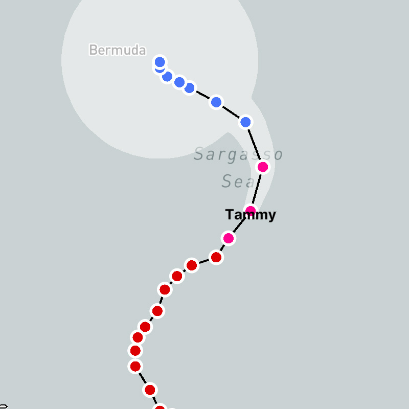
tropical-cyclones-track-lines-archive, tropical-cyclones-track-points-archivetropical-cyclones-track-lines-archive, tropical-cyclones-track-point-icons-archive
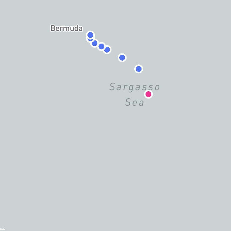
tropical-cyclones-position-icons, tropical-cyclones-names, tropical-cyclones-track-lines, tropical-cyclones-track-point-icons, tropical-cyclones-forecast-lines, tropical-cyclones-forecast-point-icons, tropical-cyclones-forecast-error-cones