We spoke with Pyrénées-Orientales County Council about their experience using RoadAI. This interview has been translated from French to English.
Can you give us an overview of the type of network you manage and what is your role as network manager?
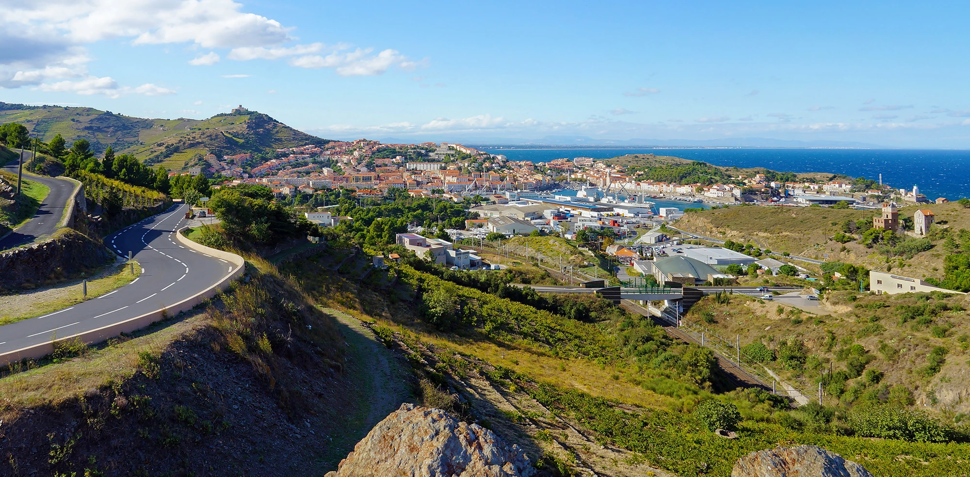
David Richard: “The department manages just over two thousand one hundred and fifty (2150) kilometers of road network.
More specifically, that is to say that we have a territory which is both very populated and therefore circulated on the coastal strip, but which also includes a territory of foothills and mountains.
The Pyrénées-Orientales Department of Transport, Mobility, and Infrastructure consists of three road maintenance sectors sub-divided into eight road agencies and is responsible for the operation and maintenance of the county' entire network.”
Before using RoadAI, how did your organization manage this network in terms of maintenance and monitoring?
David Richard: “Each road agency has an agent who patrols the network. The frequency varies according to the traffic load: from every day in the urban areas to once a month in less traveled rural areas.”
Yvan Martzluff: “On the road maintenance part, the CD66 used with knowledge of the terrain with the help of the departmental road laboratory. After we deployed RoadAI we have an improved method to ensure data consistency.”
What led you to look for an alternative to the process you currently apply?
David Richard: The goal was to collect objective data from the field, but also to have a solution that enables automatic and safe recording, unlike the manual, labor-intensive inspections.”
Yvan Martzluff: “On the road maintenance part, the CD66 used with knowledge of the terrain with the help of the departmental road laboratory. After we deployed RoadAI we have an improved method to ensure data consistency. The project is carried out within the framework of an internal program of the Department of Infrastructures and Travel which focused on innovation called Route Intelligente. RoadAI was chosen as a contributor to the program”
What made you choose RoadAI over other alternatives?
Yvan Martzluff: “When choosing the tool, AI was a key factor. Often, claims about AI-based tools' efficient do not meet expectations in practice. From the range of digital tools, RoadAI stood out and was unanimously chosen by everyone from the field agent to the director.”
What was your experience in deploying and operating RoadAI?
Yvan Martzluff: “In France, we have very limited 5G/4G network coverage not supporting large data transfers. It took a bit of in-house investment to be able to upload the data via WiFi. But it is a tool that is easy to set up because it uses just a smartphone."
We wanted to ensure the tool allowed sufficient data accessibility across the organization. Since regular inspections of the network are a legal obligation, combining with RoadAI surveys ensures no added CO2 emissions.
David Richard: “The deployment did not require creating new positions or dedicated processes."
What are the main benefits you get from RoadAI right now?
Yvan Martzluff: “Thanks to AI, tasks that were very time-consuming and extremely expensive before are now easier to manage. It is a significant leap forward.
Afterwards, there were also unexpected added use cases. For example, identifying road signs allowed us to review our road regulations (tonnage, speed, etc.) and to verify their consistency since the data is geolocated.
Areas that would take us months to survey before, are now quickly and reliably inspected with RoadAI and a result that is very good. RoadAI allows us to perform geolocated visual inspections in an advanced manner enabled by AI.
David Richard: “Road AI provides us with up-to-date visual data, improving situational road network awareness. This allows us legal security in terms of road maintenance.”
How much of your network were you able to monitor each year, before and after using RoadAI?
Yvan Martzluff: “Before RoadAI we only had feedback and reports from the field. So we have no comparison since we only brought in companies specializing in monitoring and only for very specific situations at the request of the laboratory or road safety, for example.
Since RoadAI is used by personnel patrolling the county roads, we can theoretically have the entire departmental road network filmed each month. 80% of the data filmed and integrated each month are available in RoadAI within two weeks.”
Has your road maintenance strategy changed after processing data and images with RoadAI?
David Richard: “So for the maintenance, the strategy hasn't necessarily changed. However, what we have been doing for a year and a half now is to cross-reference feedback and requests from the field with RoadAI data to properly validate the maintenance plan.
This allowed us to verify the reliability and robustness of the detection by RoadAI and to verify that the feedback from the field is consistent with RoadAI output. In the event there are sections which appear to be in poor condition according to the tool which are not reported by the road agencies, we can confirm which elements require adjustment within the maintenance plan.”
Yvan Martzluff: “RoadAI can be used in claim arbitration as well as traffic management, the rate of HGVs or the number of accidents/incidents”
Yvan Martzluff: “With RoadAI we can perform year on year pavement condition monitoring. We have a precise map of the road assets, which in itself is extremally useful. One more thing to highlight: RoadAI makes it possible to take geolocated images of the road within integrated reference points and chainage, allowing us to update our road imagery database.
Previously, we had a Pixiroute-type tool developed internally. Now, RoadAI saves officers having to collect visual data or use tools with licensing issues, such as Google Streetview.”
David Richard: “In some cases, especially when using the road network for sporting events (car or pedestrian races), we use RoadAI to generate a visual reference of the network both before and after the event. It allows us to create a report of conditions before and after: we can see if there are railings, signs, etc. which have been damaged”
Yvan Martzluff: “We are coming up with new ideas for how to use the tool. For example, the possibility is to generate automated alerts in the scenario where the sigh has been damaged. Since sign assets are numerous, some might be missed during inspections. The tool could also be used for lane markings in a similar fashion to pavement conditions to complement retro-reflectivity measurements.”