


Winter confidence for your community
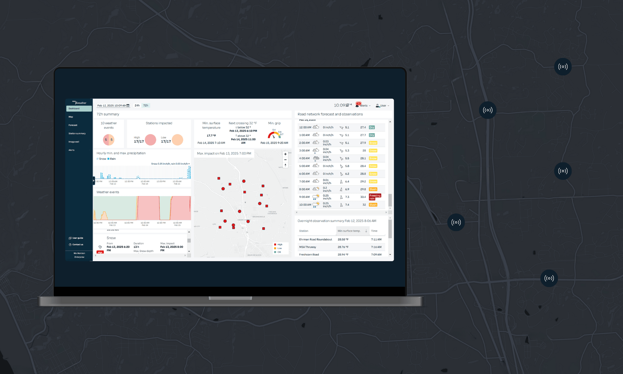
Xweather Horizon uses advanced forecasting models and local sensor data from your roads to provide precise insights into current and upcoming weather conditions. Finally, a solution that helps you make truly informed and confident decisions for every weather event!
Why choose Wx Horizon?
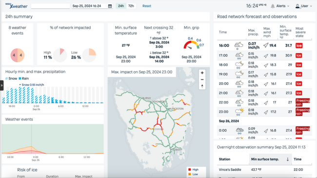
Deliver targeted treatments with confidence
Ensure you treat when and where needed by capturing the nuances that other, more generic forecasts miss. Get 72-hour forecasts for specific locations, routes, and entire regions, driven by the latest readings from fixed and mobile data sources across your network.
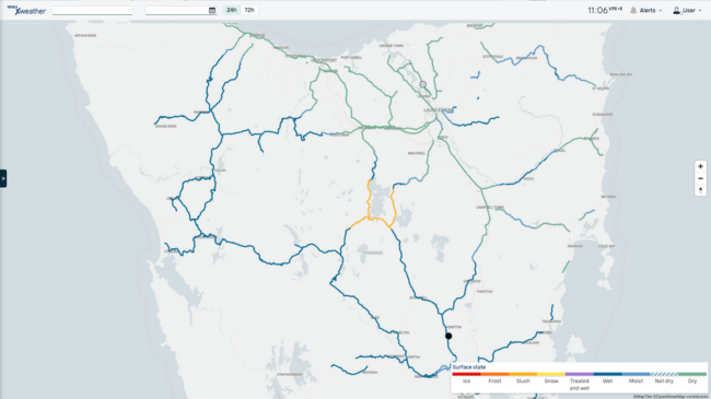
Increased assurance and network awareness
Gain full network-wide awareness of current road conditions and an understanding of driver experiences out on your network. Monitor the current road conditions from road sensors and vehicle data from across your network.
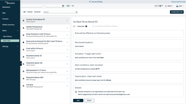
Always informed, instantly alerted
Access real-time weather insights across your entire network, updated every 10 minutes from stations and sensors, with comprehensive network-wide updates every 30 minutes. Xweather Horizon notifies you instantly when conditions on your network become hazardous.
Features for efficient winter maintenance
Insights dashboard
Xweather Horizon transforms complex weather data into clear visual insights. Quickly identify critical scenarios across your network without constant monitoring.
72-hour road weather forecast
Pinpoint when and where the weather will affect your roads up to 72 hours ahead. Target treatments precisely while avoiding unnecessary applications.
Status layers for critical parameters
Monitor surface condition, temperature, grip, and air temperature with dedicated data layers covering your entire road network.
Live grip data from connected cars
Access real-time vehicle sensor data to assess the effectiveness of your operations and identify sections that require further treatment.
Alert notifications
Set thresholds for sensor and forecast parameters and instantly notify your team when ice forms, temperatures drop, or grip deteriorates beyond safe limits.
10-day atmospheric weather forecast
Plan ahead with 10-day forecasts for temperature, precipitation, and wind. Access radar, satellite, and "feels like" data for additional insights.
Success stories
In their own words…
"We avoided 16 unnecessary callouts last winter, saving nearly $200,000."
Cranberry Township, PA

"We saved almost $10,000 in material and staff time in one 12-hour shift."
City of Independence, MO

"We covered the cost with the savings we made in a single day."
City of Oak Creek, WI

Unmatched forecasting accuracy with Xcast
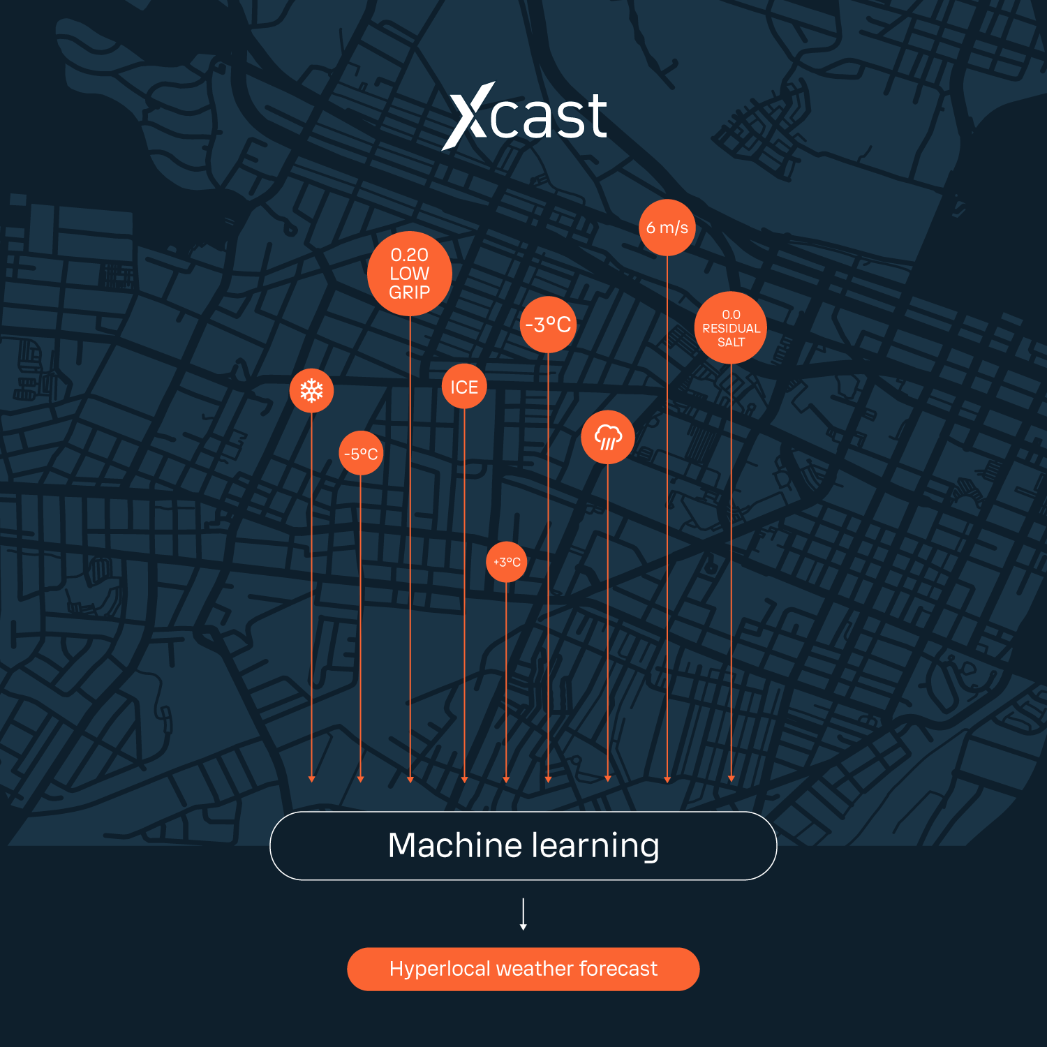
Imagine receiving observations and forecasts for key areas across your road network—easily and affordably. Look no further. Xcast is a synthesis of high-precision measurements from the sensors and weather station across your network and sophisticated forecasting models.
The sensors provide high-quality observations and up to 72-hour forecasts across your road network. Now, you can make data-driven winter maintenance decisions with true confidence and maximum situational awareness.
Real-time road conditions from connected cars
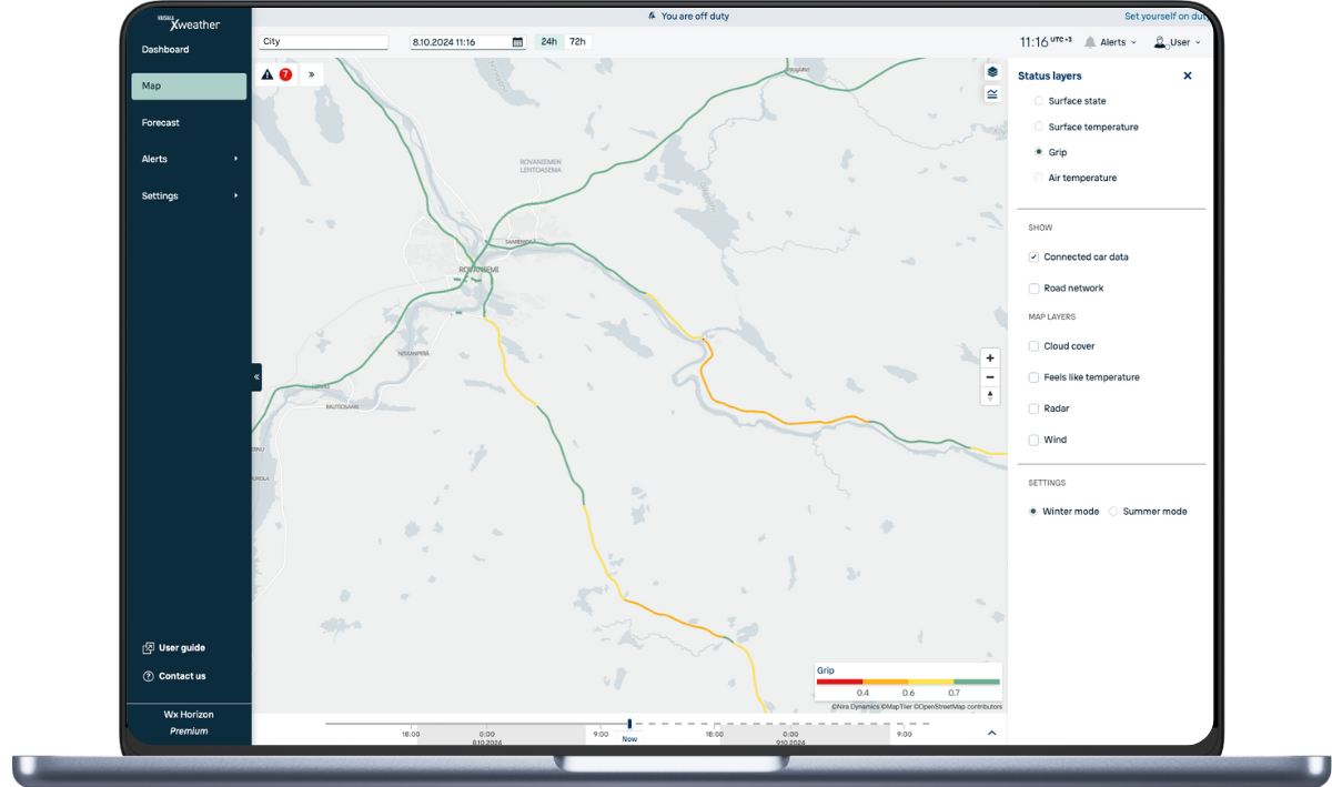
Access sensor data from cars driving on your roads* to see whether your winter maintenance actions were effective and identify road sections that may need further treatment. *Available as an add-on.
Tire grip information
See where cars are experiencing low friction to target treatments and validate the effectiveness of your ice and snow removal actions
Air temperature
See real-time air temperature in different parts of your road network

Take Xweather Horizon for a test drive
Start a free trial today
Within minutes of signing up, you'll have access to a precise 72-hour road weather forecast for your network, along with a host of other powerful features for understanding what's happening on your roads.
Included in your 30-day trial
A 72-hour road weather forecast for five locations on your network.
Road surface state, grip, temp, and snow thickness at each location.
Dashboard summary of current and future road conditions.
Alerts for frost, ice, snow, and sub-zero road temperatures.
Radar, temperature, wind, cloud cover, and snow depth map layers.
Access for an unlimited number of users from your team.
Our customer success team is on hand to ensure you get the most out of your trial. So don't delay; sign up today!
FAQs
Are the forecasts in Xweather Horizon any better than what you can get for free from other applications and websites?
What happens if an Xcast sensor stops working?
What is a road weather forecast point?
How do you forecast at the virtual road weather forecast points?
What is the best way to improve the accuracy of my forecasts?
How do you create a forecast?
How far ahead can you forecast?
Can I trust a long-term forecast?
How often does the pavement forecast information get updated?
Is there human input into the forecasting?
How many sensors do I need?
Security and quality built in
ISO 27001
SOC2
Cyber Essentials (UK)
Radio Equipment Directive (EU)
ISO 9001
