Road delays, such as rush-hour congestion and planned maintenance disruptions, are predictable. While others, such as traffic accidents and the weather, aren’t. Inclement weather reduces average speeds and limits the traffic-carrying capacity of highways and roads. Every fifth road accident is weather-related, with the majority happening on wet roads.
For truckers and logistics companies, weather is one of the few remaining unoptimized factors. Advanced route-planning software draws upon dozens of data sources to optimize routes and schedules, and a growing number of companies are now including weather in their considerations as well.
Before we dive into the details of Road Weather, let’s define two key terms:
Weather is what is happening in the air around you and in the sky above.
Road weather is what is happening on the road surface, on the ground.
Weather forecasts tell you the chance of rain and the rate of precipitation.
Broadly speaking, road weather data informs you whether the road ahead is dry, wet, snowy, slushy, or icy, as well as the film thickness of ice or snow on the pavement and the probability of aquaplaning.
Now that we’ve discussed the difference, let’s talk about the problem with snowflakes.

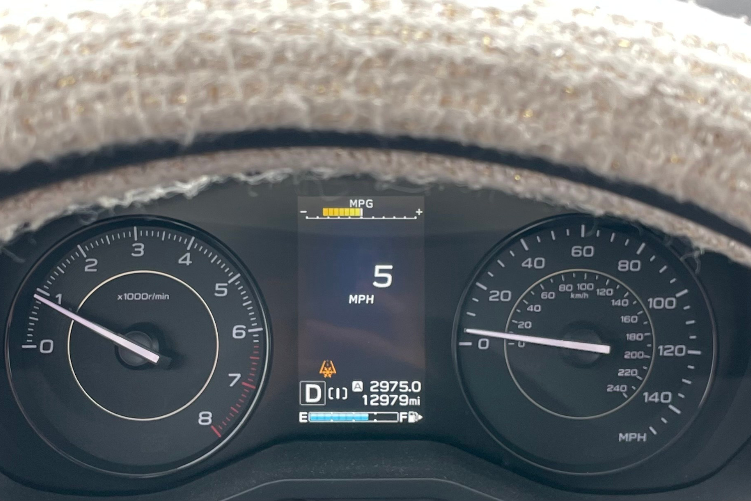
Icy conditions possible
Most modern vehicles show a snowflake within their odometer to warn the driver of icy conditions. The threshold for the warning is usually 39°F/4°C – it’s very rare for roads to be icy when the air temperature is above this. However, ambient air temperature below this threshold does not automatically make the road slippery. In practice, this basic approach results in false alarms 97% of the time, since the alert is shown even when the road is completely dry. Yes, you read that right: Most systems predict icy roads correctly only 3% of the time.
The key input missing in these readings is road surface weather conditions. You’ll remember that road weather is what is happening on the road surface – which includes data on just how wet (or dry) the roads are, greatly improving chances of predicting icy conditions. Road weather data provides superior situational awareness for route planning, scheduling, and ETA calculation. Our Road Weather offering forecasts road weather conditions for millions of kilometers of road in North America, Europe, and Japan. It models primary and secondary roads separately to reflect the effects of different road surfaces, traffic levels, and maintenance priorities. Bridges are also modeled separately to account for the free flow of air beneath the road, impacting surface temperature.
You might be thinking, but what about in-vehicle sensors? Aren’t they supposed to help with the same? The answer to that is, to an extent. The sensors only see what’s right in front of the vehicle – not what’s around the next corner, beyond the vehicle’s line of sight. Road Weather tells you what’s ahead in real time and what to expect both en route and at the destination.
Getting road weather data
Road weather data and mapping layers are available through all Xweather Flex subscriptions with multiplier-based access, with vector data layers available through MapsGL. Start your free trial today or get in touch with a technical expert to discuss your unique road weather needs.
