
Take action on air quality
Poor air quality directly affects the health and quality of life of millions of people. Organizations facing longer forest fire seasons, increased urbanization, and environmental health inequities compounded by the effects of climate change need better tools to proactively communicate, manage, and mitigate local air quality impacts.
Vaisala Xweather delivers real-time and forecasted air quality information to support evidence-based decision-making. See the big picture from global to hyperlocal air quality and generate actionable intelligence to protect health and guide response efforts.

Instant insights from global to local
Rapid risk assessment
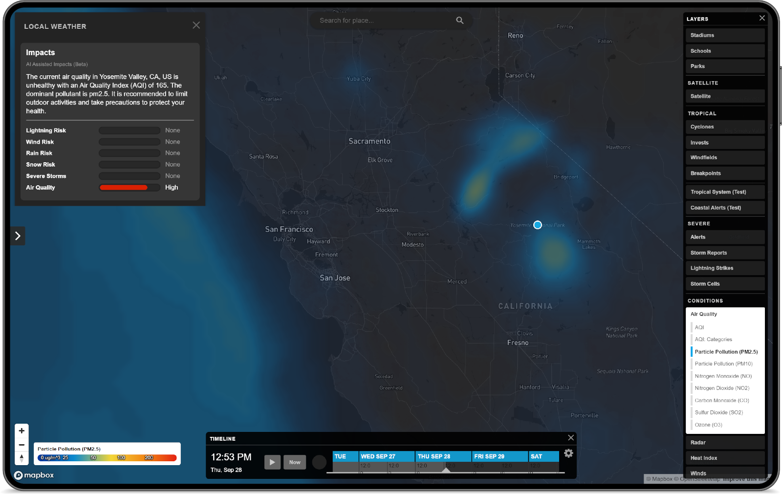
Identify and manage problem areas with AI-powered instant insights and at-a-glance risk category ratings for every location.
Intuitive visualization
Integrate high-quality, vector-based air quality visualizations into your applications and solutions.
Isolate individual pollutants
Identify risk factors with dedicated map layers for CO, NO2, O3, PM2.5, PM10, and SO2.
4.5 day forecast
Look ahead to anticipate local impacts.
Actionable intelligence
Identifying problem areas and assess the impact of poor air quality events. Inform city planning and operations and raise public awareness of health risks.
Proactive air quality management
Enable early warning systems for public health protection and vulnerable groups. Drive policy development with actionable data and insights.
See the complete picture
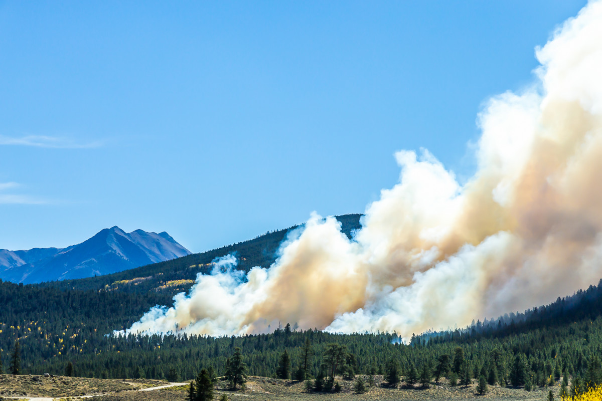
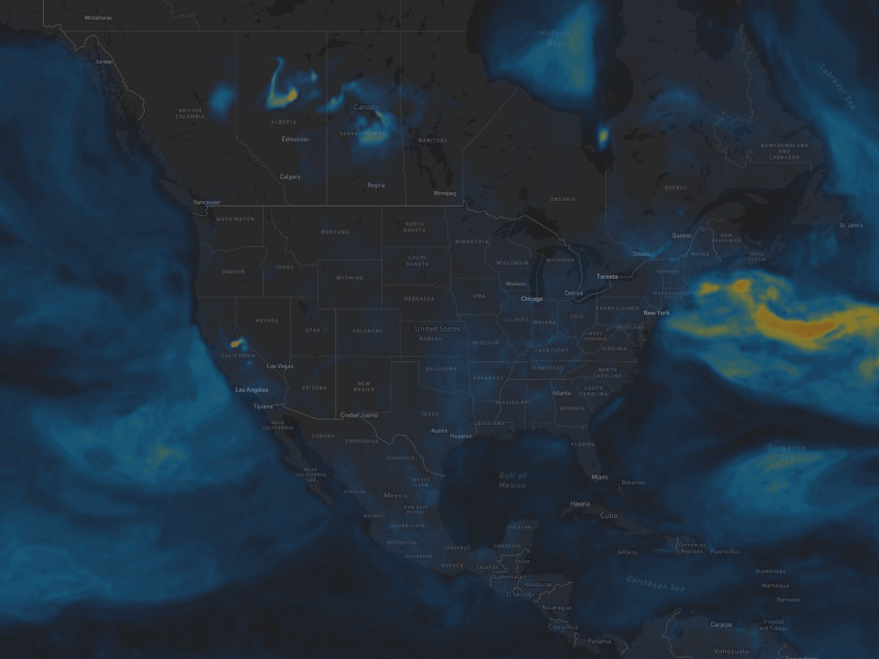
See how wide-ranging events such as forest fires, volcanos, and desert dust affect air quality and assess the impact of local emission sources and activities.

Worldbank 2022, WHO 2023
"Air pollution is the world’s leading environmental cause of illness and premature death"
01
/
07
Particle pollution PM2.5
Sources: PM2.5 is a type of air pollution consisting of tiny particles that come from industrial processes, vehicles, construction, agriculture, and wildfires.
Health impacts: PM2.5 inhalation harms health, causing respiratory issues, lung disease, heart disease, and premature death.
Mitigation: Strategies include emission regulations, clean energy adoption, efficient transportation, green spaces, public awareness, wildfire management, and air quality monitoring.

01

Start solving your air quality challenges today
Solving a problem starts with measuring and quantifying it. With access to better information, your stakeholders become more aware, active, and committed and you can move from a reactive with a proactive approach to managing air quality.
Drive positive health outcomes
Monitor the air quality for your city and surrounding area. See the air quality index and the level of individual pollutants.
Actionable hourly forecasts
Assess current conditions with real-time data and get ahead of evolving air quality threats with an hourly forecast for the next 4.5 days.
Make the connection
From global context to hyperlocal impact, Vaisala Xweather provides highly actionable air quality forecasts with sensor-enhanced modeling.

Ready to get started?
Xweather Flex is one of the most complete weather and mapping APIs available with rich historical datasets, minute-by-minute forecasts, and unique endpoints like severe weather, tropical storms, lightning strikes, and wildfires. Combine this weather intelligence with the Air Quality Add-On to see how wide-ranging global events will impact your local communities.